Transport Functions
Port
Road
Hub Profile
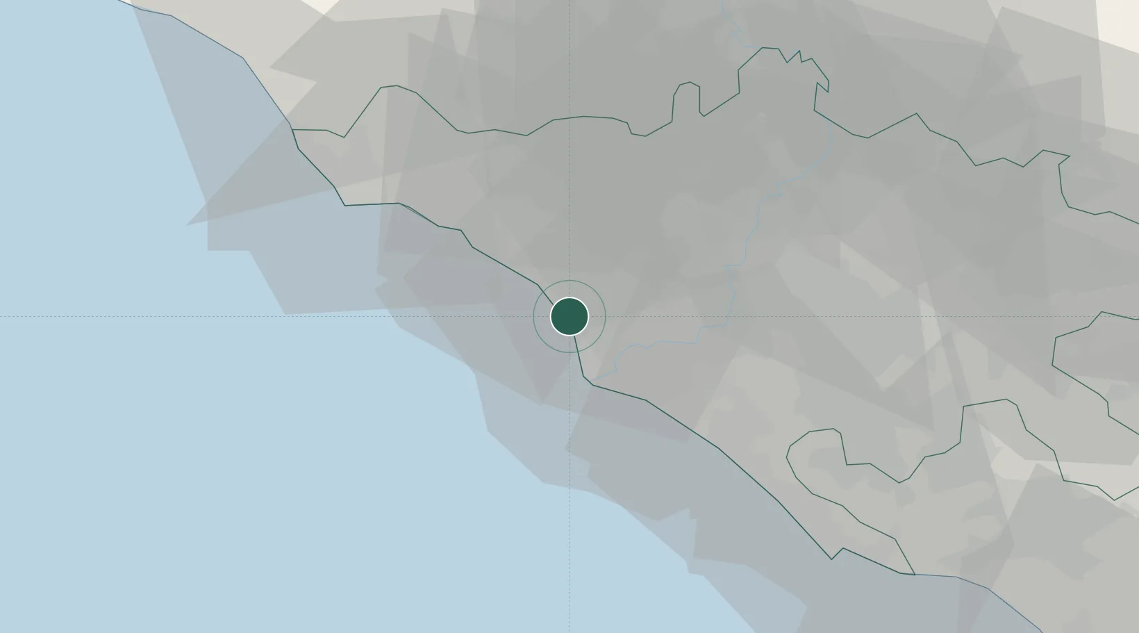
Place type
Populated place
Region
Lazio
Population
6,727
Time zone
Europe/Rome
Elevation
3 m
Location
Nearby Logistics Neighbours
Cities
- 1Fiumicino10 km
- 2Ponte Galeria13 km
- 3Ladispoli13 km
- 4Ostia14 km
- 5Acilia16 km
Ports
- 1Fiumicino9 km
- 2Civitavecchia45 km
- 3Anzio - Nettuno58 km
- 4San Felice Circeo102 km
- 5Porto Ercole102 km
Airports
DatabookThe Record of Consolidated Knowledge
Italy beyond logistics?