Transport Functions
Port
Airport
Hub Profile
Place type
District seat
Region
Lazio
Population
34,556
Time zone
Europe/Rome
Elevation
1 m
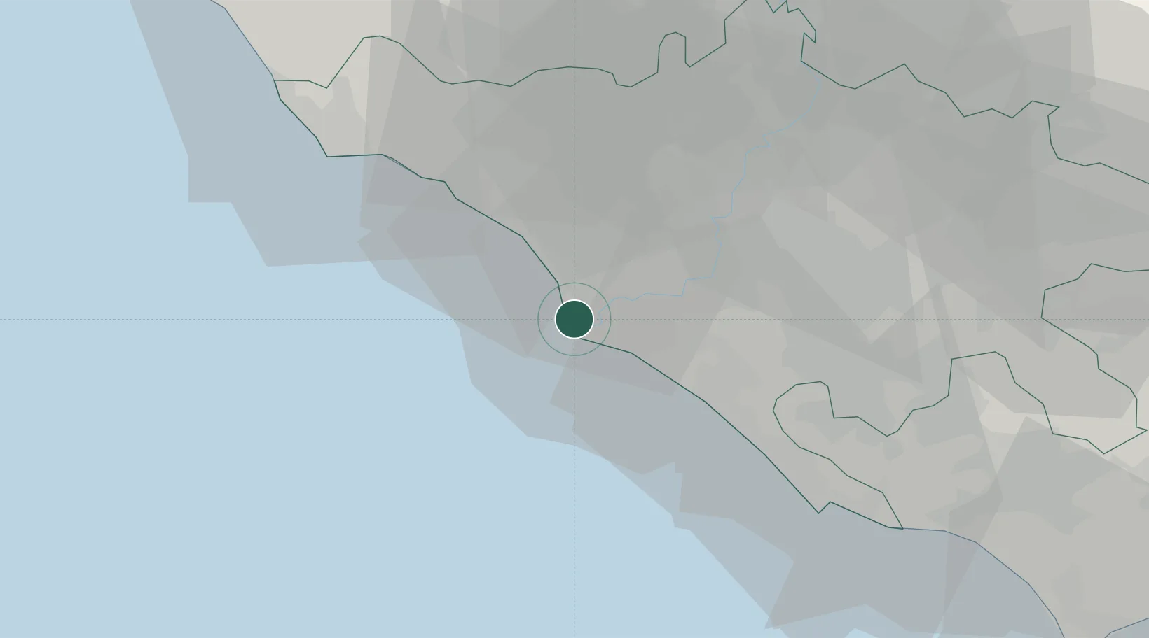
Location
Nearby Logistics Neighbours
Cities
- 1Ostia6 km
- 2Fregene10 km
- 3Ponte Galeria11 km
- 4Acilia11 km
- 5Ladispoli22 km
Ports
- 1Anzio - Nettuno49 km
- 2Civitavecchia53 km
- 3San Felice Circeo94 km
- 4Terracina101 km
- 5Porto Ercole110 km
Airports
DatabookThe Record of Consolidated Knowledge
Italy beyond logistics?