Transport Functions
Port
Road
Hub Profile
Place type
Provincial seat
Region
The Marches
Population
77,241
Time zone
Europe/Rome
Elevation
11 m
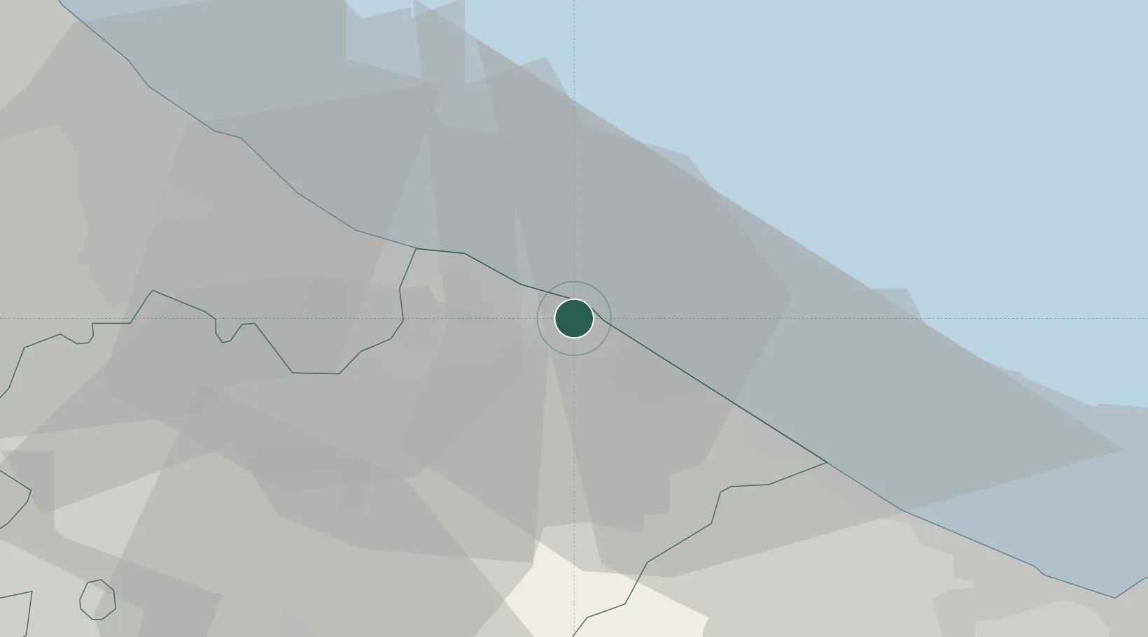
Location
Nearby Logistics Neighbours
Cities
- 1Fano11 km
- 2Vallefoglia13 km
- 3Gabicce Mare14 km
- 4Lucrezia15 km
- 5Cattolica16 km
Ports
- 1Fano9 km
- 2Senigallia31 km
- 3Rimini34 km
- 4Cesenatico53 km
- 5Ancona55 km
Airports
Trade Zones
DatabookThe Record of Consolidated Knowledge
Italy beyond logistics?