Transport Functions
Rail
Road
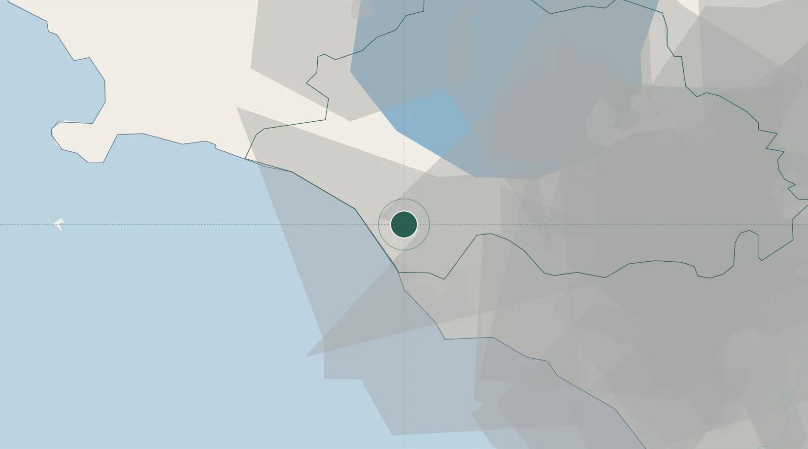
Hub Profile
Place type
District seat
Region
Lazio
Population
11,949
Time zone
Europe/Rome
Elevation
133 m
Location
Nearby Logistics Neighbours
Cities
- 1Montalto di Castro16 km
- 2Civitavecchia16 km
- 3Santa Marinella26 km
- 4Sutri39 km
- 5Caprarola40 km
Ports
- 1Civitavecchia17 km
- 2Porto Ercole47 km
- 3Porto Santo Stefano56 km
- 4Fiumicino66 km
- 5Giglio Porto69 km
Airports
Trade Zones
DatabookThe Record of Consolidated Knowledge
Italy beyond logistics?