Transport Functions
Port
Rail
Road
Hub Profile
Place type
District seat
Region
Lazio
Population
14,034
Time zone
Europe/Rome
Elevation
7 m
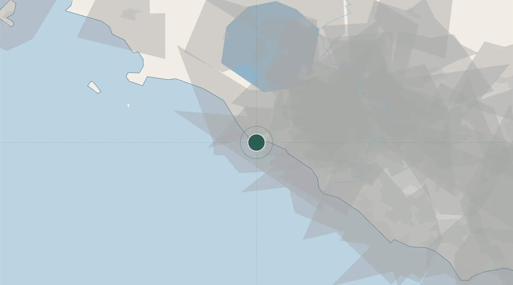
Location
Nearby Logistics Neighbours
Cities
- 1Civitavecchia10 km
- 2Ladispoli22 km
- 3Tarquinia26 km
- 4Anguillara Sabazia35 km
- 5Fregene35 km
Ports
- 1Civitavecchia10 km
- 2Fiumicino42 km
- 3Porto Ercole67 km
- 4Porto Santo Stefano75 km
- 5Giglio Porto85 km
Airports
DatabookThe Record of Consolidated Knowledge
Italy beyond logistics?