Transport Functions
Rail
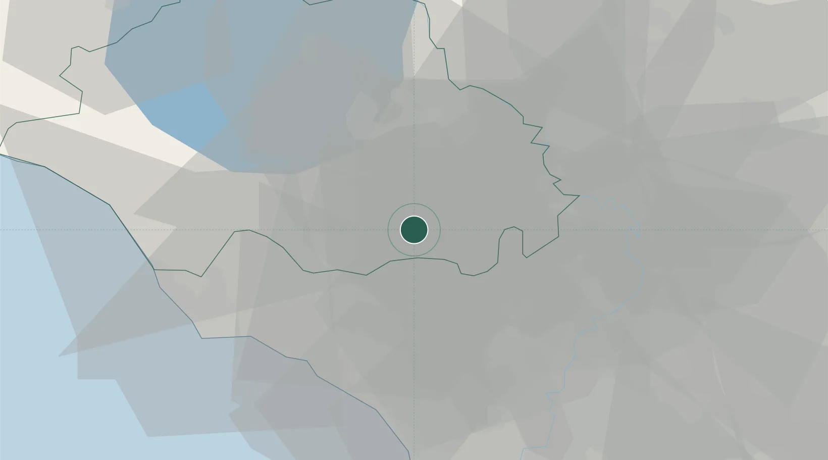
Hub Profile
Place type
District seat
Region
Lazio
Population
4,162
Time zone
Europe/Rome
Elevation
291 m
Location
Nearby Logistics Neighbours
Cities
- 1Caprarola9 km
- 2Nepi11 km
- 3Castel Sant'Elia13 km
- 4Corchiano16 km
- 5Anguillara Sabazia17 km
Ports
- 1Civitavecchia40 km
- 2Fiumicino51 km
- 3Porto Ercole85 km
- 4Porto Santo Stefano93 km
- 5Anzio - Nettuno94 km
Airports
Trade Zones
DatabookThe Record of Consolidated Knowledge
Italy beyond logistics?