UN/LOCODE hub · Italy
ITMLS
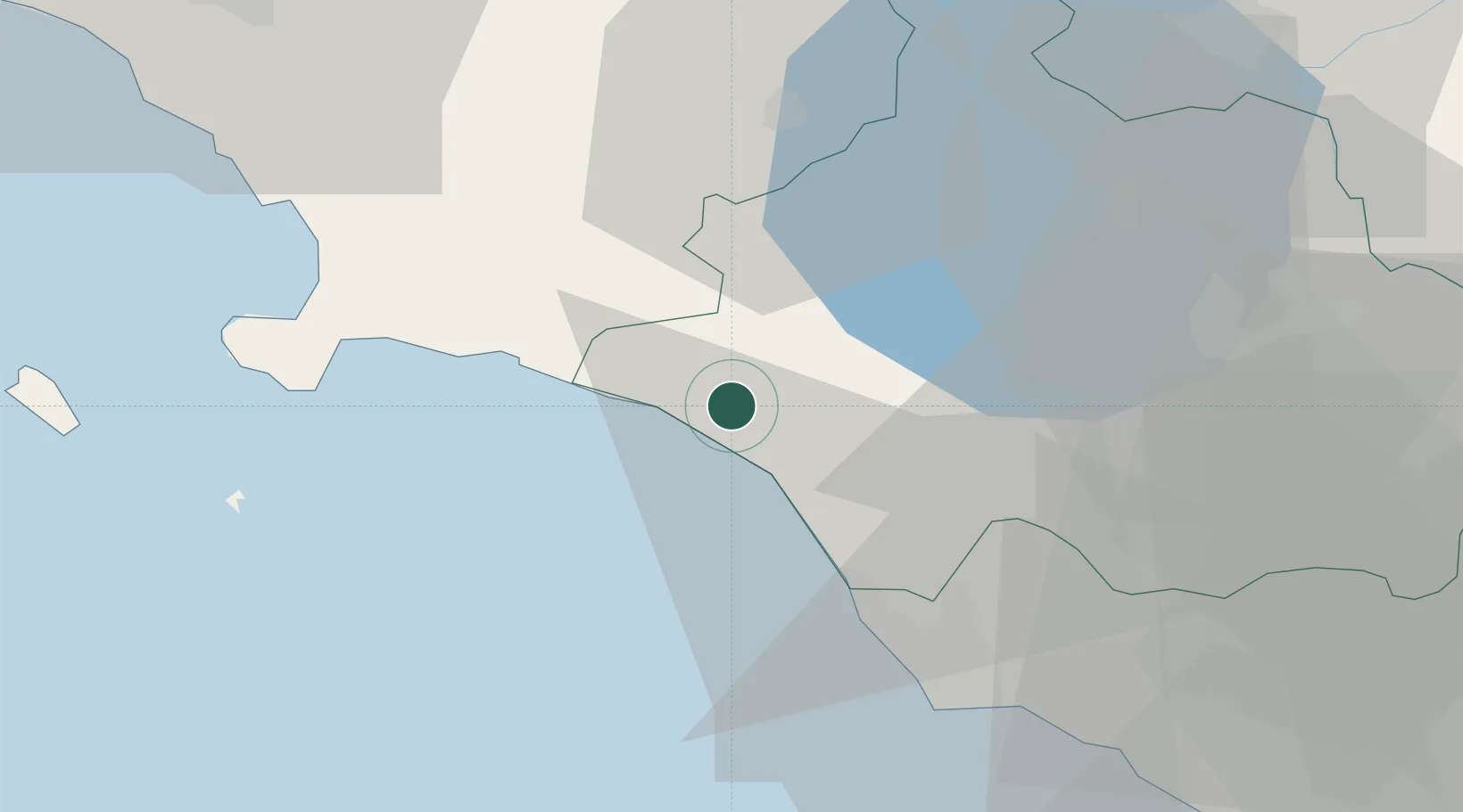
Montalto di Castro
42.3500°, 11.6167°
4,623
Population
3
Transport functions
Transport Functions
Port
Rail
Road
Hub Profile
Place type
District seat
Region
Lazio
Population
4,623
Time zone
Europe/Rome
Elevation
42 m
Location
Nearby Logistics Neighbours
Cities
- 1Tarquinia16 km
- 2Civitavecchia30 km
- 3Porto Ercole34 km
- 4Orbetello35 km
- 5Albinia38 km
Ports
- 1Civitavecchia30 km
- 2Porto Ercole34 km
- 3Porto Santo Stefano42 km
- 4Giglio Porto57 km
- 5Fiumicino81 km
Airports
Trade Zones
DatabookThe Record of Consolidated Knowledge
Italy beyond logistics?