UN/LOCODE hub · Italy
ITCVV
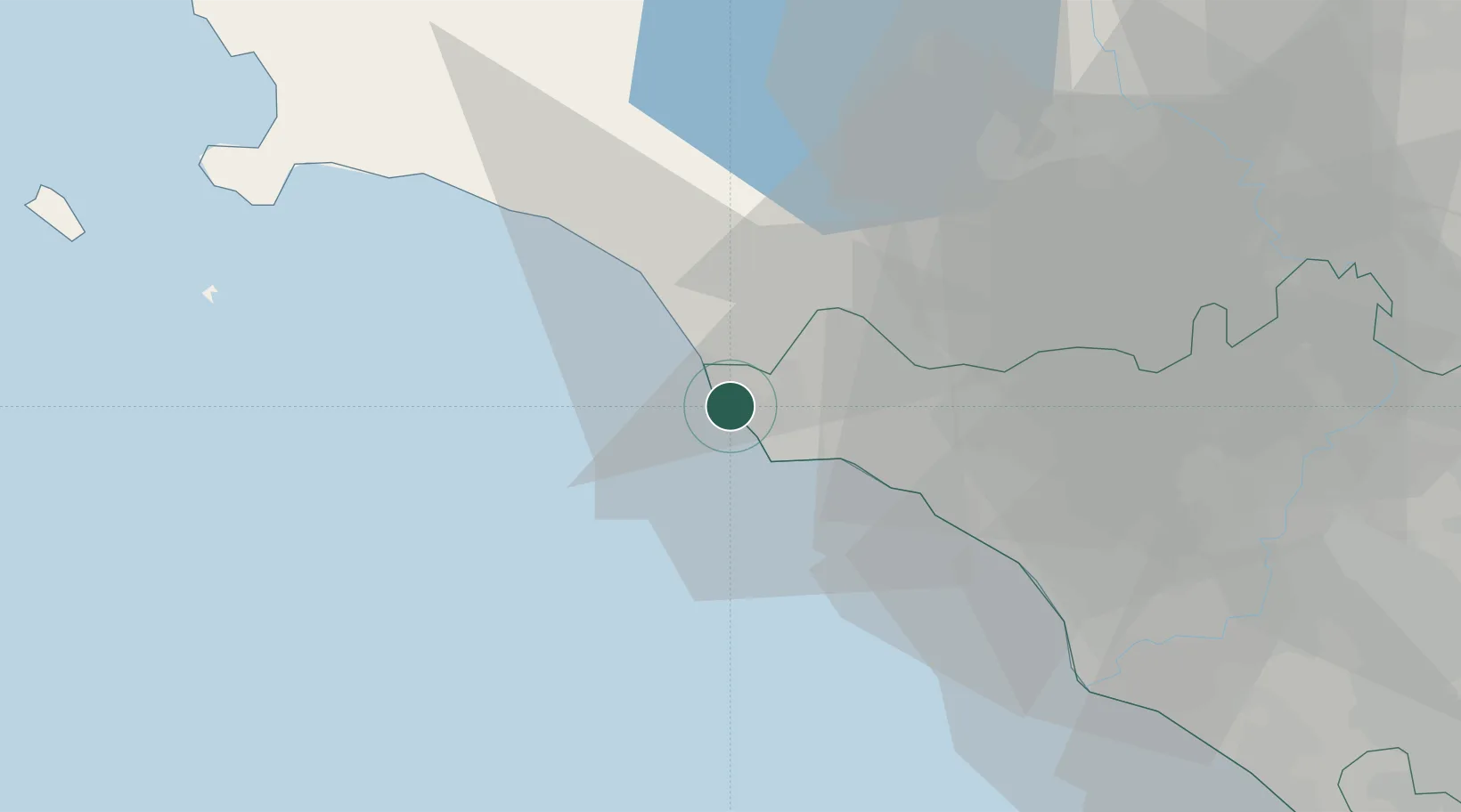
Civitavecchia
42.1056°, 11.7743°
47,543
Population
1
Transport functions
2
Container terminals
Transport Functions
Port
Hub Profile
Place type
District seat
Region
Lazio
Population
47,543
Time zone
Europe/Rome
Elevation
10 m
Logistics facilities
3
Container terminals
2
Location
Nearby Logistics Neighbours
Cities
- 1Santa Marinella10 km
- 2Tarquinia16 km
- 3Montalto di Castro30 km
- 4Ladispoli32 km
- 5Sutri39 km
Ports
- 1Fiumicino52 km
- 2Porto Ercole57 km
- 3Porto Santo Stefano65 km
- 4Giglio Porto76 km
- 5Anzio - Nettuno103 km
Airports
DatabookThe Record of Consolidated Knowledge
Italy beyond logistics?