UN/LOCODE hub · India
INVKH

HNB SEZ/Mumbai

18.9667°, 72.8167°
2
Transport functions

Transport Functions

Road
Multimodal
UN/LOCODE

Hub Profile

Region
MH
GeoNames

Location

Location of INVKH
Natural Earth 10m (public domain) · MH · INVKH · 18.97, 72.82GoogleOSMYandex

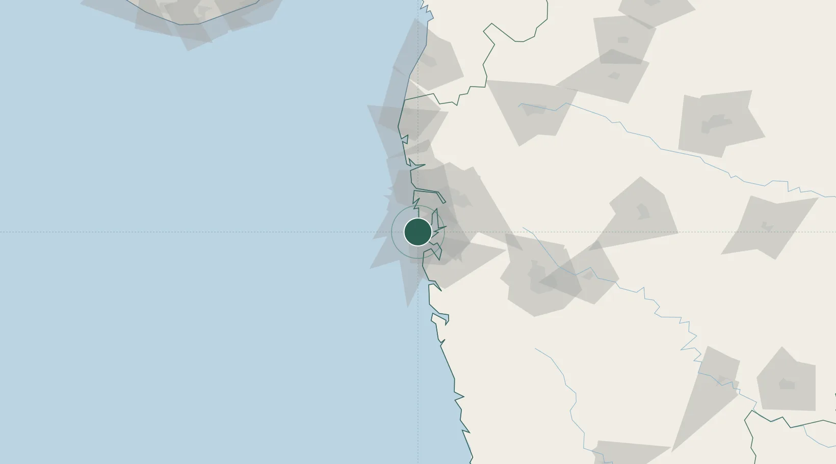
Nearby Logistics Neighbours

Cities
  1. 1Precious Cargo Customs Clearance Centre/Bandra11 km
  2. 2Chattrapati Shivaji International Apt14 km
  3. 3Uran15 km
  4. 4LIPD SEZ/Navi Mumbai16 km
  5. 5Andheri East17 km
Nearest neighbours — logibook spatial index (haversine) over the source coordinates
Ports
  1. 1Mumbai (Bombay)5 km
  2. 2Jawaharlal Nehru Port (Nhava Shiva)14 km
  3. 3Port Dabhol158 km
  4. 4Jaigarh Bay190 km
  5. 5Ratnagiri226 km
Nearest neighbours — logibook spatial index (haversine) over the source coordinates
Airports
  1. 1Chhatrapati Shivaji Maharaj International Airport15 km
  2. 2Navi Mumbai International Airport26 km
  3. 3Pune International Airport124 km
  4. 4Daman Airport163 km
  5. 5Nashik International Airport172 km
Nearest neighbours — logibook spatial index (haversine) over the source coordinates
Trade Zones
  1. 1Arshiya Northern Ftwz Limited3 km
  2. 2M S. Arshiya International Ltd.3 km
  3. 3Lodha Dwellers Pvt. Ltd.4 km
  4. 4Bengal Shapoorji Developers Pvt. Ltd.4 km
  5. 5The Manjri Stud Farm Pvt.Ltd4 km
Nearest neighbours — logibook spatial index (haversine) over the source coordinates
DatabookThe Record of Consolidated Knowledge
India beyond logistics?
Browse databook

All Sources

LocationsUN/LOCODE
UN/LOCODE — free
Portsthe NGA World Port Index
Public domain (US gov)
AirportsOurAirports
Public domain
Trade Zonesthe World Bank SEZ database
CC BY 4.0
Trade ZonesOpen Zone Map
CC BY
← India locations