UN/LOCODE hub · India
INURA

Uran

18.8833°, 72.9333°
30,439
Population
3
Transport functions

Transport Functions

Port
Rail
Road
UN/LOCODE

Hub Profile

Place type
Populated place
GeoNames
Region
Maharashtra
GeoNames
Population
30,439
GeoNames
Time zone
Asia/Kolkata
GeoNames
Elevation
7 m
GeoNames

Location

Location of INURA
Natural Earth 10m (public domain) · Maharashtra · INURA · 18.88, 72.93GoogleOSMYandex

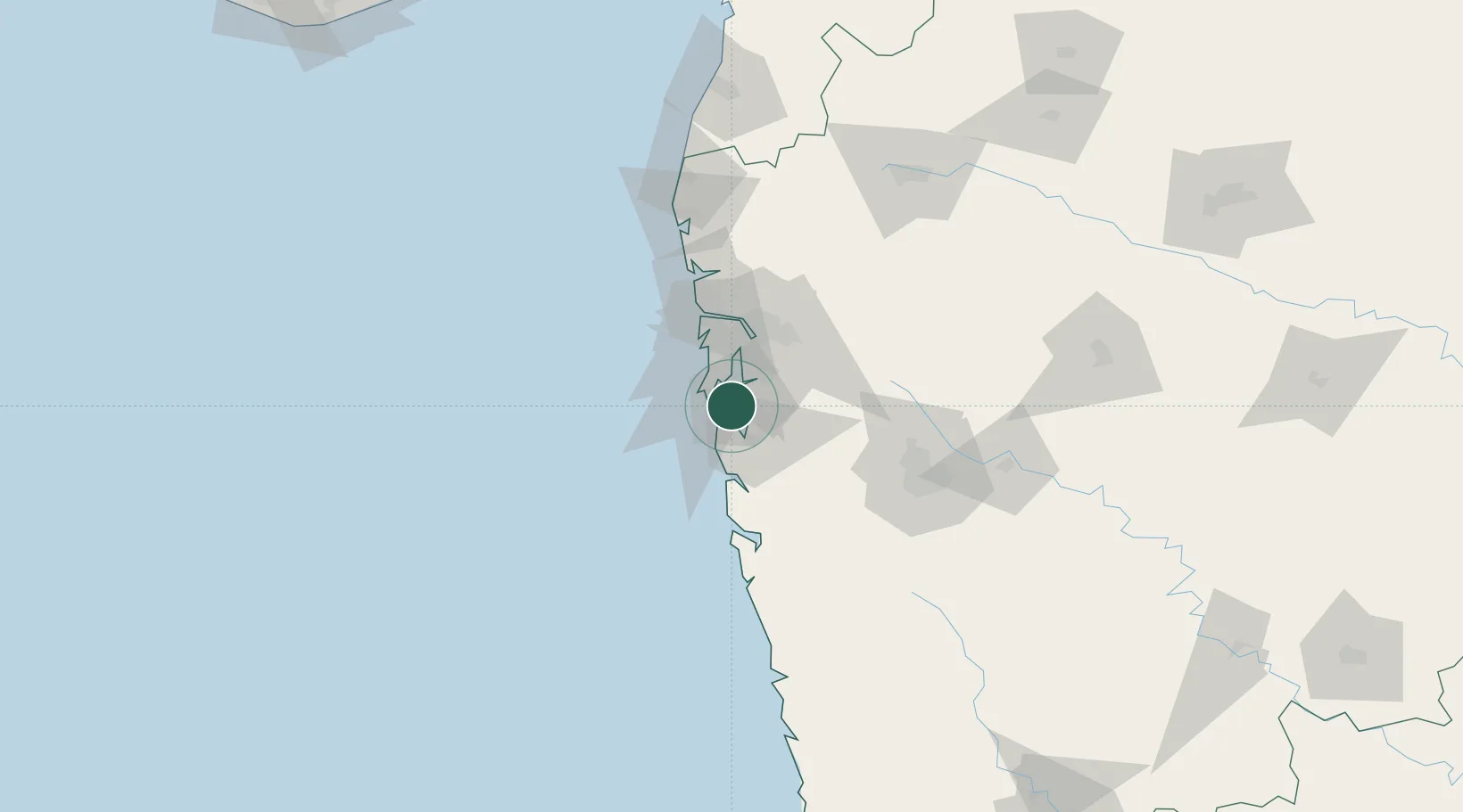
Nearby Logistics Neighbours

Cities
  1. 1Jawaharlal Nehru (Nhava Sheva)10 km
  2. 2PDPL SEZ/Raigarh12 km
  3. 3Navi Mumbai13 km
  4. 4Nhave15 km
  5. 5HNB SEZ/Mumbai15 km
Nearest neighbours — logibook spatial index (haversine) over the source coordinates
Ports
  1. 1Jawaharlal Nehru Port (Nhava Shiva)8 km
  2. 2Mumbai (Bombay)12 km
  3. 3Port Dabhol147 km
  4. 4Jaigarh Bay179 km
  5. 5Ratnagiri215 km
Nearest neighbours — logibook spatial index (haversine) over the source coordinates
Airports
  1. 1Navi Mumbai International Airport18 km
  2. 2Chhatrapati Shivaji Maharaj International Airport24 km
  3. 3Pune International Airport109 km
  4. 4Nashik International Airport172 km
  5. 5Daman Airport173 km
Nearest neighbours — logibook spatial index (haversine) over the source coordinates
Trade Zones
  1. 1Lodha Dwellers Pvt. Ltd.12 km
  2. 2Bengal Shapoorji Developers Pvt. Ltd.12 km
  3. 3The Manjri Stud Farm Pvt.Ltd12 km
  4. 4Arshiya Northern Ftwz Limited17 km
  5. 5M S. Arshiya International Ltd.17 km
Nearest neighbours — logibook spatial index (haversine) over the source coordinates
DatabookThe Record of Consolidated Knowledge
India beyond logistics?
Browse databook

All Sources

LocationsUN/LOCODE
UN/LOCODE — free
LocationsGeoNames
CC BY 4.0
Portsthe NGA World Port Index
Public domain (US gov)
AirportsOurAirports
Public domain
Trade Zonesthe World Bank SEZ database
CC BY 4.0
Trade ZonesOpen Zone Map
CC BY
← India locations