UN/LOCODE hub · India
INCSI

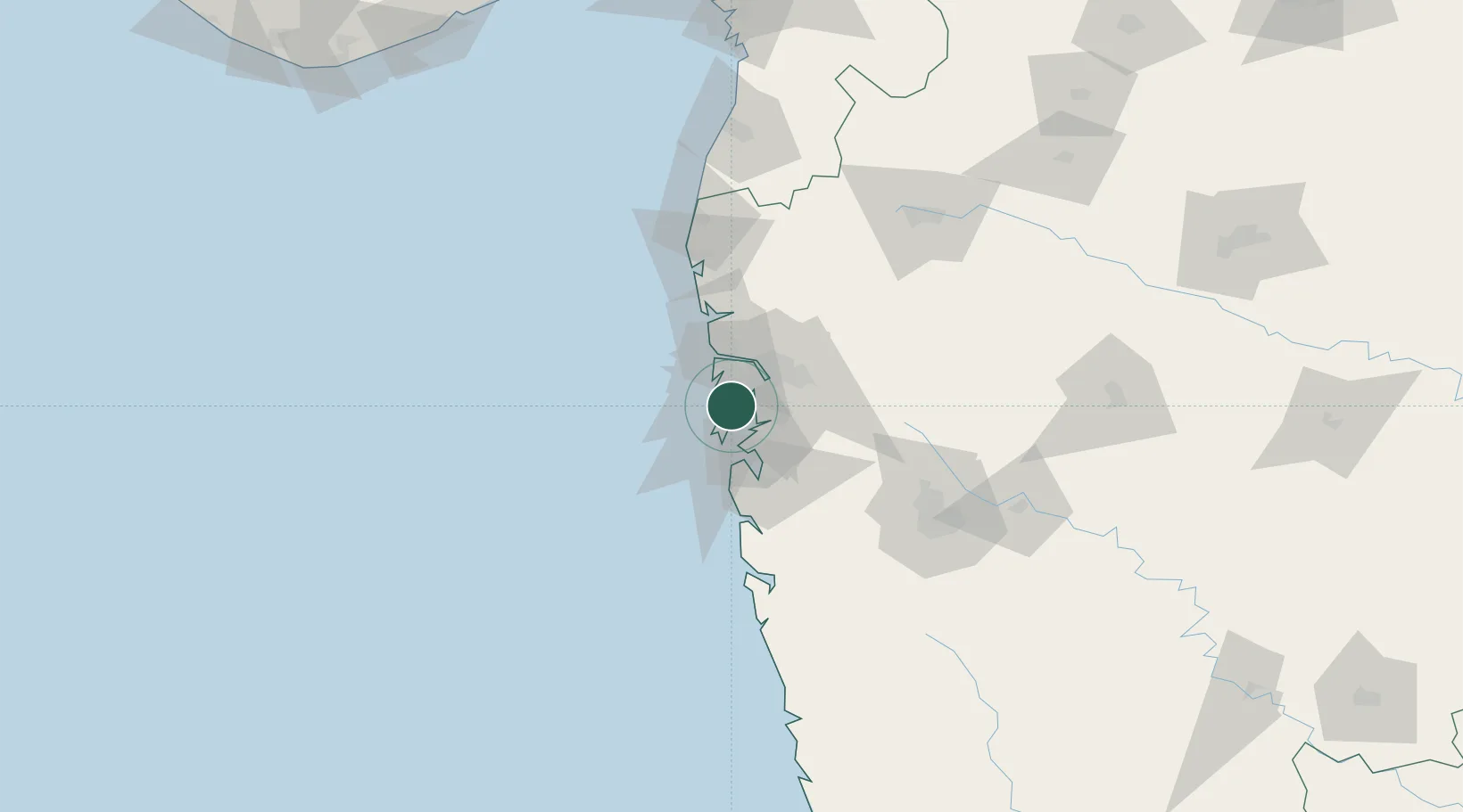
Chattrapati Shivaji International Apt

19.0833°, 72.8667°
3
Transport functions

Transport Functions

Rail
Road
Airport
UN/LOCODE

Hub Profile

Region
MH
GeoNames

Location

Location of INCSI
Natural Earth 10m (public domain) · MH · INCSI · 19.08, 72.87GoogleOSMYandex

Nearby Logistics Neighbours

Cities
  1. 1LIPD SEZ/Navi Mumbai3 km
  2. 2Precious Cargo Customs Clearance Centre/Bandra4 km
  3. 3Andheri East5 km
  4. 4Multi Services-SEZ/Dronagiri10 km
  5. 5Mulund12 km
Nearest neighbours — logibook spatial index (haversine) over the source coordinates
Ports
  1. 1Mumbai (Bombay)13 km
  2. 2Jawaharlal Nehru Port (Nhava Shiva)17 km
  3. 3Port Dabhol170 km
  4. 4Jaigarh Bay202 km
  5. 5Hazira224 km
Nearest neighbours — logibook spatial index (haversine) over the source coordinates
Airports
  1. 1Chhatrapati Shivaji Maharaj International Airport1 km
  2. 2Navi Mumbai International Airport24 km
  3. 3Pune International Airport124 km
  4. 4Daman Airport150 km
  5. 5Nashik International Airport159 km
Nearest neighbours — logibook spatial index (haversine) over the source coordinates
Trade Zones
  1. 1Wockhardt Infrastructure Development Ltd.3 km
  2. 2SEEPZ-SEZ5 km
  3. 3SEEPZ Economic Zone Special5 km
  4. 4Santacruz Electronics Export Processing Zone5 km
  5. 5Hiranandani Business Park6 km
Nearest neighbours — logibook spatial index (haversine) over the source coordinates
DatabookThe Record of Consolidated Knowledge
India beyond logistics?
Browse databook

All Sources

LocationsUN/LOCODE
UN/LOCODE — free
Portsthe NGA World Port Index
Public domain (US gov)
AirportsOurAirports
Public domain
Trade Zonesthe World Bank SEZ database
CC BY 4.0
Trade ZonesOpen Zone Map
CC BY
← India locations