UN/LOCODE hub · India
INBDB

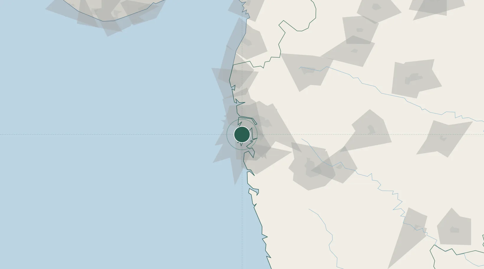
Precious Cargo Customs Clearance Centre/Bandra

19.0667°, 72.8333°
1
Transport functions

Transport Functions

Multimodal
UN/LOCODE

Hub Profile

Region
MH
GeoNames

Location

Location of INBDB
Natural Earth 10m (public domain) · MH · INBDB · 19.07, 72.83GoogleOSMYandex

Nearby Logistics Neighbours

Cities
  1. 1Chattrapati Shivaji International Apt4 km
  2. 2Andheri East6 km
  3. 3LIPD SEZ/Navi Mumbai6 km
  4. 4Multi Services-SEZ/Dronagiri11 km
  5. 5HNB SEZ/Mumbai11 km
Nearest neighbours — logibook spatial index (haversine) over the source coordinates
Ports
  1. 1Mumbai (Bombay)12 km
  2. 2Jawaharlal Nehru Port (Nhava Shiva)18 km
  3. 3Port Dabhol169 km
  4. 4Jaigarh Bay201 km
  5. 5Hazira225 km
Nearest neighbours — logibook spatial index (haversine) over the source coordinates
Airports
  1. 1Chhatrapati Shivaji Maharaj International Airport4 km
  2. 2Navi Mumbai International Airport26 km
  3. 3Pune International Airport126 km
  4. 4Daman Airport152 km
  5. 5Nashik International Airport163 km
Nearest neighbours — logibook spatial index (haversine) over the source coordinates
Trade Zones
  1. 1Wockhardt Infrastructure Development Ltd.3 km
  2. 2Santacruz Electronics Export Processing Zone8 km
  3. 3SEEPZ-SEZ8 km
  4. 4SEEPZ Economic Zone Special8 km
  5. 5M S. Arshiya International Ltd.9 km
Nearest neighbours — logibook spatial index (haversine) over the source coordinates
DatabookThe Record of Consolidated Knowledge
India beyond logistics?
Browse databook

All Sources

LocationsUN/LOCODE
UN/LOCODE — free
Portsthe NGA World Port Index
Public domain (US gov)
AirportsOurAirports
Public domain
Trade Zonesthe World Bank SEZ database
CC BY 4.0
Trade ZonesOpen Zone Map
CC BY
← India locations