Seaport · Guam

Apra HarborGUAPR

13.4500°, 144.6167°
11.0 m
Channel depth
42.5
Port liner connectivity

Channel & Berth Profile

SEA LEVEL (CD)CHANNEL BEDCargo pier · 7.9 mChannel · 11.0 mOil terminal · 14.0 mAnchorage · 23.2 m
NGA World Port Index

Pilotage, Tugs & Services

Pilotage compulsoryYES
Pilotage availableYES
Pilotage advisableYES
Tug assistanceYES
Shore powerYES
Potable waterYES
Diesel bunkersYES
MedicalYES
Garbage disposalYES
NGA World Port Index

Facilities & Capabilities

Container
Ro-Ro
Liquid bulk
Dry bulk
Oil terminal
Break bulk
Dry dockNO
RepairsNO
BunkeringYES
Rail link
Dangerous cargo
ISPS security
NGA World Port Index

Harbour Specifications

Harbour size
Medium
NGA World Port Index
Harbour type
Coastal (Breakwater)
NGA World Port Index
Shelter
Good
NGA World Port Index
Water body
North Pacific Ocean
NGA World Port Index
Tidal range
1 m
NGA World Port Index
Overhead limit
No
NGA World Port Index
Pilotage
Yes
NGA World Port Index

Liner Connectivity

42.5
PLSCI

Port Liner Shipping Connectivity Index for Apra Harbor, as published by UNCTAD for the latest available quarter. Higher values indicate stronger scheduled liner-shipping integration.

Shown relative to the highest per-port PLSCI in the dataset (1,657.9).
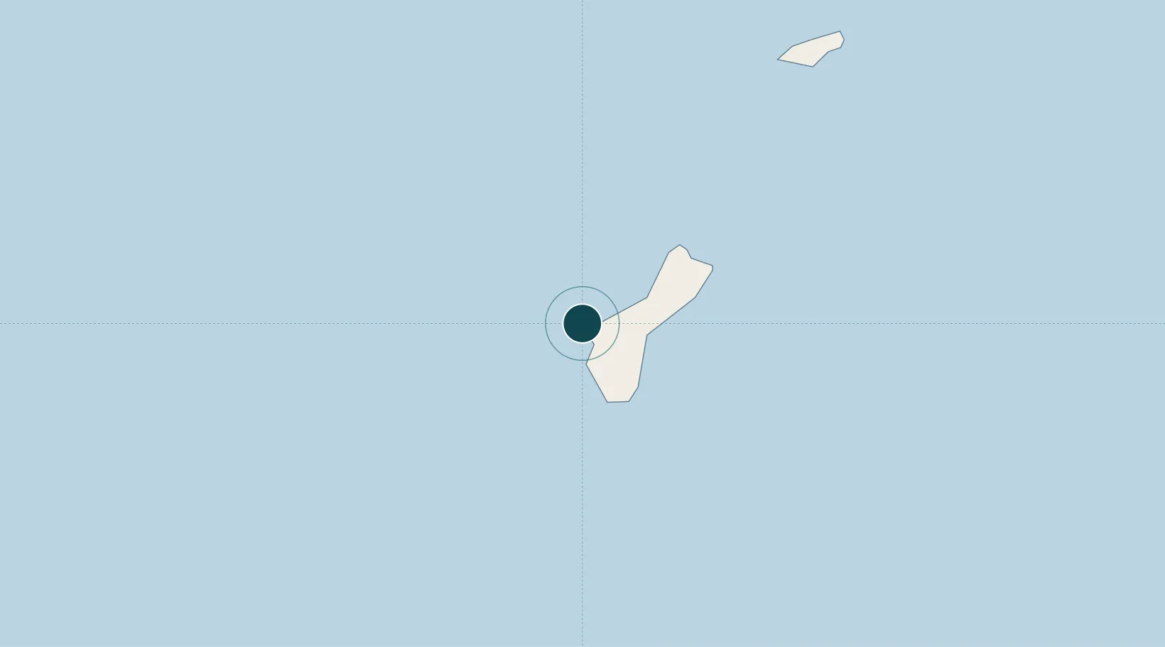
UNCTAD · Port Liner Shipping Connectivity Index

Location

Location of GUAPR
Natural Earth 10m (public domain) · GUAPR · 13.45, 144.62GoogleOSMYandex

Nearby Logistics Neighbours

Ports
  1. 1Rota95 km
  2. 2Tinian200 km
  3. 3Saipan226 km
  4. 4Pohnpei Harbor1650 km
  5. 5Lorengau1745 km
Nearest neighbours — logibook spatial index (haversine) over the source coordinates
Cities
  1. 1Barrigada18 km
  2. 2Gaferut Atoll476 km
  3. 3Woleai Atoll683 km
  4. 4Ifalik Atoll692 km
  5. 5Satawal728 km
Nearest neighbours — logibook spatial index (haversine) over the source coordinates
Airports
  1. 1Antonio B. Won Pat International Airport20 km
  2. 2Andersen Air Force Base37 km
  3. 3Rota International Airport105 km
  4. 4Tinian International Airport204 km
  5. 5Saipan International Airport221 km
Nearest neighbours — logibook spatial index (haversine) over the source coordinates
Trade Zones
  1. 1Ngardmau Free Trade Zone1280 km
  2. 2National Capitol Complex Tax Free Zone1281 km
  3. 3Manus Special Economic Zone1693 km
  4. 4Vanimo Special Economic Zone1832 km
  5. 5Sepik Special Economic Zone1977 km
Nearest neighbours — logibook spatial index (haversine) over the source coordinates
DatabookThe Record of Consolidated Knowledge
Guam beyond logistics?
Browse databook

All Sources

Portsthe NGA World Port Index
Public domain (US gov)
Logistics performanceUNCTAD
CC BY 3.0 IGO
AirportsOurAirports
Public domain
LocationsUN/LOCODE
UN/LOCODE — free
Trade Zonesthe World Bank SEZ database
CC BY 4.0
Trade ZonesOpen Zone Map
CC BY
← Guam ports