Seaport · Northern Mariana Islands
SaipanMPSPN
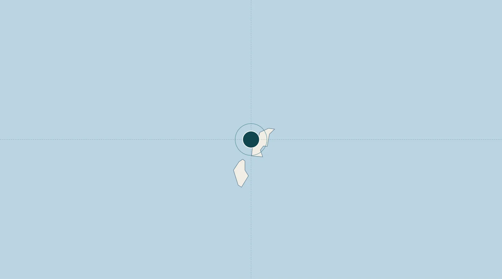
15.2000°, 145.6833°
9.4 m
Channel depth
1
Container terminals
33.1
Port liner connectivity
Channel & Berth Profile
Pilotage, Tugs & Services
Pilotage compulsoryYES
Pilotage availableYES
Pilotage advisableYES
Local assistanceYES
Tug assistanceYES
Salvage tugsNO
Shore powerYES
Potable waterYES
Diesel bunkersYES
MedicalYES
Garbage disposalYES
Facilities & Capabilities
Container—
Ro-Ro—
Liquid bulk—
Dry bulk—
Oil terminal—
Break bulk—
Dry dock—
Repairs—
BunkeringNO
Rail link—
Dangerous cargo—
ISPS security—
Harbour Specifications
Harbour size
Small
Harbour type
Coastal (Natural)
Shelter
Poor
Water body
North Pacific Ocean
Tidal range
1 m
Overhead limit
No
Pilotage
Yes
Liner Connectivity
33.1
PLSCI
Port Liner Shipping Connectivity Index for Saipan, as published by UNCTAD for the latest available quarter. Higher values indicate stronger scheduled liner-shipping integration.
Shown relative to the highest per-port PLSCI in the dataset (1,657.9).
Location
Container Terminals · 1
PORT OF SAIPAN TERMINAL (CPA)
POST COMMONWEALTH PORTS AUTHORITY (CPA)
Nearby Logistics Neighbours
Ports
- 1Tinian27 km
- 2Rota132 km
- 3Apra Harbor226 km
- 4Pohnpei Harbor1642 km
- 5Enitwetak Island1852 km
Cities
- 1Barrigada216 km
- 2Gaferut Atoll664 km
- 3Satawal885 km
- 4Woleai Atoll895 km
- 5Ifalik Atoll896 km
Airports
Trade Zones
- 1Ngardmau Free Trade Zone1480 km
- 2National Capitol Complex Tax Free Zone1482 km
- 3Manus Special Economic Zone1900 km
- 4Vanimo Special Economic Zone2048 km
- 5Sandaun Special Economic Zone2196 km
DatabookThe Record of Consolidated Knowledge
Northern Mariana Islands beyond logistics?