Medium airport · Guam
Andersen Air Force BasePGUA
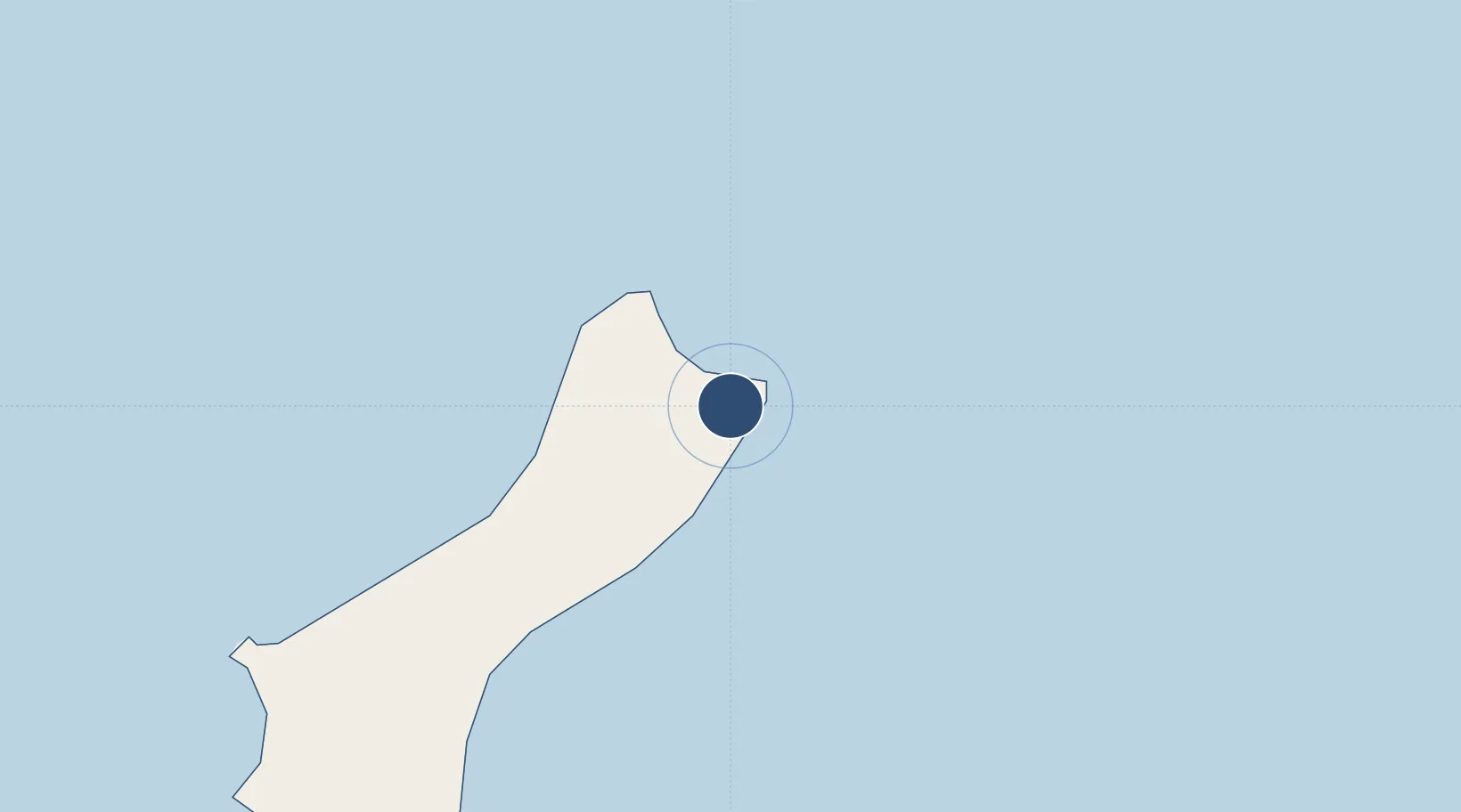
13.5840°, 144.9300°
11,185 ft
Longest runway
2
Runways
627 ft
Elevation
Runway & Layout

Radio Frequencies
ATIS
118.175 MHz
TWR
126.2 MHz
GND
121.7 MHz
A/D
118.7 MHz
GUAM APP/DEP
ACP
128 MHz
AMC COMD POST
MISC
118.7 MHz
GUAM CERAP
OPS
23.93 MHz
13AF AOC
PMSV
34.46 MHz
PMSV METRO
POST
31.1 MHz
36 ABW COMD POST
PTD
139.3 MHz
Navaids
UAM TACAN Andersen 111.70 MHz
Runways · 2
| Runway | Dimensions | Surface | True heading | Lit |
|---|---|---|---|---|
| 06R/24L | 11,185 × 200ft | Asphalt / concrete | 066° | ✓ |
| 06L/24R | 10,558 × 200ft | Asphalt / concrete | 066° | ✓ |
Airport Specifications
IATA code
UAM
ICAO code
PGUA
Airport class
Medium airport
Scheduled service
No
Runway surface
Asphalt / concrete
Served city
Yigo
Location
Nearby Logistics Neighbours
Airports
Cities
- 1Barrigada21 km
- 2Gaferut Atoll486 km
- 3Woleai Atoll703 km
- 4Ifalik Atoll708 km
- 5Satawal730 km
Ports
- 1Apra Harbor37 km
- 2Rota66 km
- 3Tinian171 km
- 4Saipan197 km
- 5Pohnpei Harbor1626 km
Trade Zones
- 1Ngardmau Free Trade Zone1317 km
- 2National Capitol Complex Tax Free Zone1318 km
- 3Manus Special Economic Zone1711 km
- 4Vanimo Special Economic Zone1854 km
- 5Sepik Special Economic Zone1998 km
DatabookThe Record of Consolidated Knowledge
Guam beyond logistics?