Large airport · Northern Mariana Islands

Rota International AirportPGRO
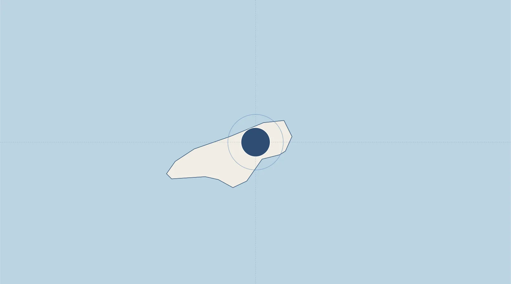
14.1733°, 145.2411°
6,000 ft
Longest runway
1
Runways
607 ft
Elevation

Runway & Layout

Rota International Airport runway & taxiway layout
Runway & taxiway layout — OpenStreetMap (ODbL) / OurAirports

Radio Frequencies

CTAF
123.6 MHz
A/D
118.7 MHz
GUAM CNTR
RDO
123.6 MHz
OurAirports

Navaids

GRO NDB Rota 332 kHz
OurAirports

Runways · 1

RunwayDimensions SurfaceTrue headingLit
09/27 6,000 × 150ft Asphalt 092°
OurAirports

Airport Specifications

IATA code
ROP
OurAirports
ICAO code
PGRO
OurAirports
Airport class
Large airport
OurAirports
Scheduled service
Yes
OurAirports
Runway surface
Asphalt
OurAirports
Served city
Rota Island
OurAirports

Location

Location of PGRO
Natural Earth 10m (public domain) · Rota · PGRO · 14.17, 145.24GoogleOSMYandex

Nearby Logistics Neighbours

Airports
  1. 1Andersen Air Force Base74 km
  2. 2Antonio B. Won Pat International Airport90 km
  3. 3Tinian International Airport101 km
  4. 4Saipan International Airport118 km
  5. 5Yap International Airport936 km
Nearest neighbours — logibook spatial index (haversine) over the source coordinates
Cities
  1. 1Barrigada93 km
  2. 2Gaferut Atoll550 km
  3. 3Woleai Atoll773 km
  4. 4Ifalik Atoll777 km
  5. 5Satawal784 km
Nearest neighbours — logibook spatial index (haversine) over the source coordinates
Ports
  1. 1Rota11 km
  2. 2Tinian97 km
  3. 3Apra Harbor105 km
  4. 4Saipan124 km
  5. 5Pohnpei Harbor1626 km
Nearest neighbours — logibook spatial index (haversine) over the source coordinates
Trade Zones
  1. 1Ngardmau Free Trade Zone1379 km
  2. 2National Capitol Complex Tax Free Zone1380 km
  3. 3Manus Special Economic Zone1780 km
  4. 4Vanimo Special Economic Zone1926 km
  5. 5Sandaun Special Economic Zone2074 km
Nearest neighbours — logibook spatial index (haversine) over the source coordinates
DatabookThe Record of Consolidated Knowledge
Northern Mariana Islands beyond logistics?
Browse databook

All Sources

AirportsOurAirports
Public domain
Portsthe NGA World Port Index
Public domain (US gov)
LocationsUN/LOCODE
UN/LOCODE — free
Trade Zonesthe World Bank SEZ database
CC BY 4.0
Trade ZonesOpen Zone Map
CC BY
← Northern Mariana Islands airports