Large airport · Northern Mariana Islands
Saipan International AirportPGSN
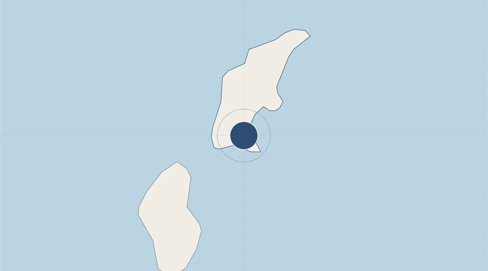
15.1194°, 145.7288°
8,700 ft
Longest runway
1
Runways
215 ft
Elevation
Runway & Layout

Radio Frequencies
ATIS
127.2 MHz
TWR
125.7 MHz
GND
121.8 MHz
CNTR
118.4 MHz
GUAM CNTR
RDO
123.6 MHz
SAIPAN RDO
Navaids
SN NDB Saipan 312 kHz
Runways · 1
| Runway | Dimensions | Surface | True heading | Lit |
|---|---|---|---|---|
| 07/25 | 8,700 × 200ft | Asphalt | 068° | ✓ |
Airport Specifications
IATA code
SPN
ICAO code
PGSN
Airport class
Large airport
Scheduled service
Yes
Runway surface
Asphalt
Served city
I Fadang, Saipan
Location
Nearby Logistics Neighbours
Airports
Cities
- 1Barrigada210 km
- 2Gaferut Atoll656 km
- 3Satawal876 km
- 4Woleai Atoll887 km
- 5Ifalik Atoll888 km
Ports
- 1Saipan10 km
- 2Tinian21 km
- 3Rota126 km
- 4Apra Harbor221 km
- 5Pohnpei Harbor1633 km
Trade Zones
- 1Ngardmau Free Trade Zone1479 km
- 2National Capitol Complex Tax Free Zone1481 km
- 3Manus Special Economic Zone1892 km
- 4Vanimo Special Economic Zone2040 km
- 5Sandaun Special Economic Zone2189 km
DatabookThe Record of Consolidated Knowledge
Northern Mariana Islands beyond logistics?