Channel & Berth Profile
Pilotage, Tugs & Services
Pilotage compulsoryYES
Tug assistanceNO
Salvage tugsNO
Shore powerYES
Potable waterYES
Diesel bunkersYES
MedicalYES
Garbage disposalYES
Facilities & Capabilities
Container—
Ro-Ro—
Liquid bulk—
Dry bulk—
Oil terminal—
Break bulk—
Dry dock—
RepairsNO
BunkeringNO
Rail link—
Dangerous cargo—
ISPS security—
Harbour Specifications
Harbour size
Very Small
Harbour type
Coastal (Breakwater)
Shelter
Good
Water body
North Pacific Ocean
Tidal range
1 m
Overhead limit
No
Pilotage
Yes
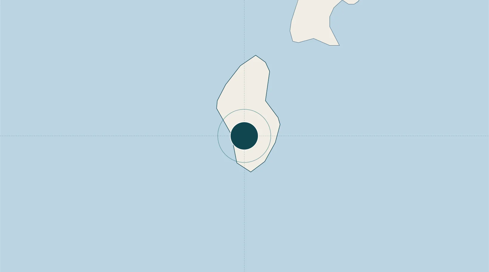
Location
Nearby Logistics Neighbours
Ports
- 1Saipan27 km
- 2Rota105 km
- 3Apra Harbor200 km
- 4Pohnpei Harbor1634 km
- 5Enitwetak Island1854 km
Cities
- 1Barrigada189 km
- 2Gaferut Atoll638 km
- 3Satawal861 km
- 4Woleai Atoll868 km
- 5Ifalik Atoll869 km
Airports
Trade Zones
- 1Ngardmau Free Trade Zone1460 km
- 2National Capitol Complex Tax Free Zone1462 km
- 3Manus Special Economic Zone1873 km
- 4Vanimo Special Economic Zone2021 km
- 5Sandaun Special Economic Zone2170 km
DatabookThe Record of Consolidated Knowledge
Northern Mariana Islands beyond logistics?