Large airport · Northern Mariana Islands

Tinian International AirportPGWT
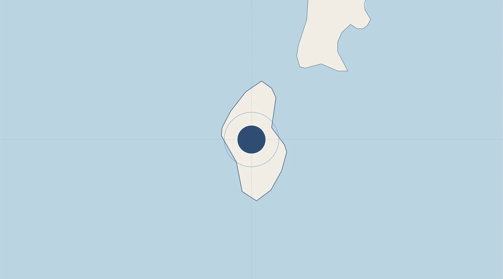
15.0005°, 145.6190°
8,600 ft
Longest runway
1
Runways
271 ft
Elevation

Runway & Layout

Tinian International Airport runway & taxiway layout
Runway & taxiway layout — OpenStreetMap (ODbL) / OurAirports

Radio Frequencies

CTAF
123.6 MHz
CNTR
118.4 MHz
GUAM CNTR
RDO
123.6 MHz
SAIPAN RDO
OurAirports

Runways · 1

RunwayDimensions SurfaceTrue headingLit
08/26 8,600 × 150ft Asphalt / concrete 079°
OurAirports

Airport Specifications

IATA code
TIQ
OurAirports
ICAO code
PGWT
OurAirports
Airport class
Large airport
OurAirports
Scheduled service
Yes
OurAirports
Runway surface
Asphalt / concrete
OurAirports
Served city
Tinian Island
OurAirports

Location

Location of PGWT
Natural Earth 10m (public domain) · Tinian · PGWT · 15.00, 145.62GoogleOSMYandex

Nearby Logistics Neighbours

Airports
  1. 1Saipan International Airport18 km
  2. 2Rota International Airport101 km
  3. 3Andersen Air Force Base174 km
  4. 4Antonio B. Won Pat International Airport190 km
  5. 5Yap International Airport1022 km
Nearest neighbours — logibook spatial index (haversine) over the source coordinates
Cities
  1. 1Barrigada193 km
  2. 2Gaferut Atoll642 km
  3. 3Satawal865 km
  4. 4Woleai Atoll872 km
  5. 5Ifalik Atoll873 km
Nearest neighbours — logibook spatial index (haversine) over the source coordinates
Ports
  1. 1Tinian4 km
  2. 2Saipan23 km
  3. 3Rota109 km
  4. 4Apra Harbor204 km
  5. 5Pohnpei Harbor1636 km
Nearest neighbours — logibook spatial index (haversine) over the source coordinates
Trade Zones
  1. 1Ngardmau Free Trade Zone1462 km
  2. 2National Capitol Complex Tax Free Zone1464 km
  3. 3Manus Special Economic Zone1877 km
  4. 4Vanimo Special Economic Zone2025 km
  5. 5Sandaun Special Economic Zone2173 km
Nearest neighbours — logibook spatial index (haversine) over the source coordinates
DatabookThe Record of Consolidated Knowledge
Northern Mariana Islands beyond logistics?
Browse databook

All Sources

AirportsOurAirports
Public domain
Portsthe NGA World Port Index
Public domain (US gov)
LocationsUN/LOCODE
UN/LOCODE — free
Trade Zonesthe World Bank SEZ database
CC BY 4.0
Trade ZonesOpen Zone Map
CC BY
← Northern Mariana Islands airports