Large airport · Guam
Antonio B. Won Pat International AirportPGUM
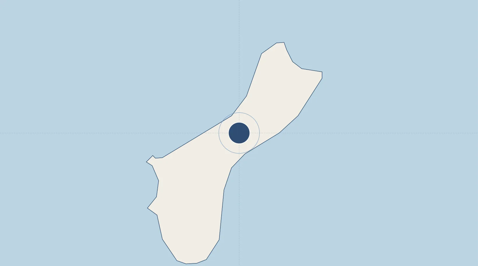
13.4850°, 144.7973°
12,015 ft
Longest runway
2
Runways
298 ft
Elevation
Runway & Layout

Radio Frequencies
ATIS
119 MHz
TWR
118.1 MHz
AGANA TWR
GND
121.9 MHz
CLD
121.9 MHz
CLNC DEL
A/D
118.7 MHz
APP/DEP
ARTC
120.5 MHz
GUAM CERAP
RMP
121.6 MHz
RAMP
Navaids
AJA NDB Mt Macajna 385 kHz
UNZ VORTAC Nimitz 115.30 MHz
Runways · 2
| Runway | Dimensions | Surface | True heading | Lit |
|---|---|---|---|---|
| 06L/24R | 12,015 × 150ft | asphalt | 065° | ✓ |
| 06R/24L | 10,014 × 150ft | asphalt | 065° | ✓ |
Airport Specifications
IATA code
GUM
ICAO code
PGUM
Airport class
Large airport
Scheduled service
Yes
Runway surface
asphalt
Served city
Hagåtña
Location
Nearby Logistics Neighbours
Airports
- 1Andersen Air Force Base18 km
- 2Rota International Airport90 km
- 3Tinian International Airport190 km
- 4Saipan International Airport208 km
- 5Yap International Airport855 km
Cities
- 1Barrigada3 km
- 2Gaferut Atoll477 km
- 3Woleai Atoll690 km
- 4Ifalik Atoll696 km
- 5Satawal725 km
Ports
- 1Apra Harbor20 km
- 2Rota82 km
- 3Tinian187 km
- 4Saipan213 km
- 5Pohnpei Harbor1634 km
Trade Zones
- 1Ngardmau Free Trade Zone1299 km
- 2National Capitol Complex Tax Free Zone1300 km
- 3Manus Special Economic Zone1699 km
- 4Vanimo Special Economic Zone1840 km
- 5Sepik Special Economic Zone1985 km
DatabookThe Record of Consolidated Knowledge
Guam beyond logistics?