UN/LOCODE hub · Greece
GRTVR

Távros

37.9667°, 23.6833°
14,972
Population
3
Transport functions

Transport Functions

Port
Road
Multimodal
UN/LOCODE

Hub Profile

Place type
Populated place
GeoNames
Region
Attica
GeoNames
Population
14,972
GeoNames
Time zone
Europe/Athens
GeoNames
Elevation
23 m
GeoNames

Location

Location of GRTVR
Natural Earth 10m (public domain) · Attica · GRTVR · 37.97, 23.68GoogleOSMYandex

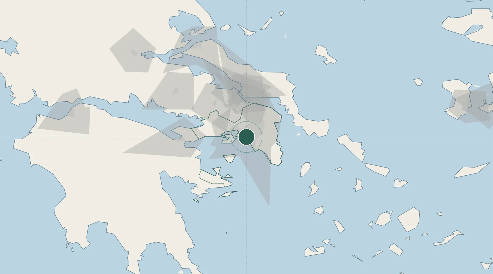
Nearby Logistics Neighbours

Cities
  1. 1Aigaleo2 km
  2. 2Aegaleo2 km
  3. 3Moschato/Athínai2 km
  4. 4Agios Ioannis Rentis2 km
  5. 5Moskhaton2 km
Nearest neighbours — logibook spatial index (haversine) over the source coordinates
Ports
  1. 1Piraievs5 km
  2. 2Megara Oil Terminal25 km
  3. 3Lavrio45 km
  4. 4Ormos Aliveriou56 km
  5. 5Navplio90 km
Nearest neighbours — logibook spatial index (haversine) over the source coordinates
Airports
  1. 1Elefsis Air Base16 km
  2. 2Athens Eleftherios Venizelos International Airport23 km
  3. 3Tanagra Air Base43 km
  4. 4Syros Airport127 km
  5. 5Skiros Airport132 km
Nearest neighbours — logibook spatial index (haversine) over the source coordinates
Trade Zones
  1. 1Free Zone of Piraeus7 km
  2. 2Free Zone of Platigiali (Astakos Etoloakarnanias)233 km
  3. 3Izmir Free Zone292 km
  4. 4Izmir Ataturk Organized Industrial Zone299 km
  5. 5Aegean Free Zone304 km
Nearest neighbours — logibook spatial index (haversine) over the source coordinates
DatabookThe Record of Consolidated Knowledge
Greece beyond logistics?
Browse databook

All Sources

LocationsUN/LOCODE
UN/LOCODE — free
LocationsGeoNames
CC BY 4.0
Portsthe NGA World Port Index
Public domain (US gov)
AirportsOurAirports
Public domain
Trade Zonesthe World Bank SEZ database
CC BY 4.0
Trade ZonesOpen Zone Map
CC BY
← Greece locations