Transport Functions
Port
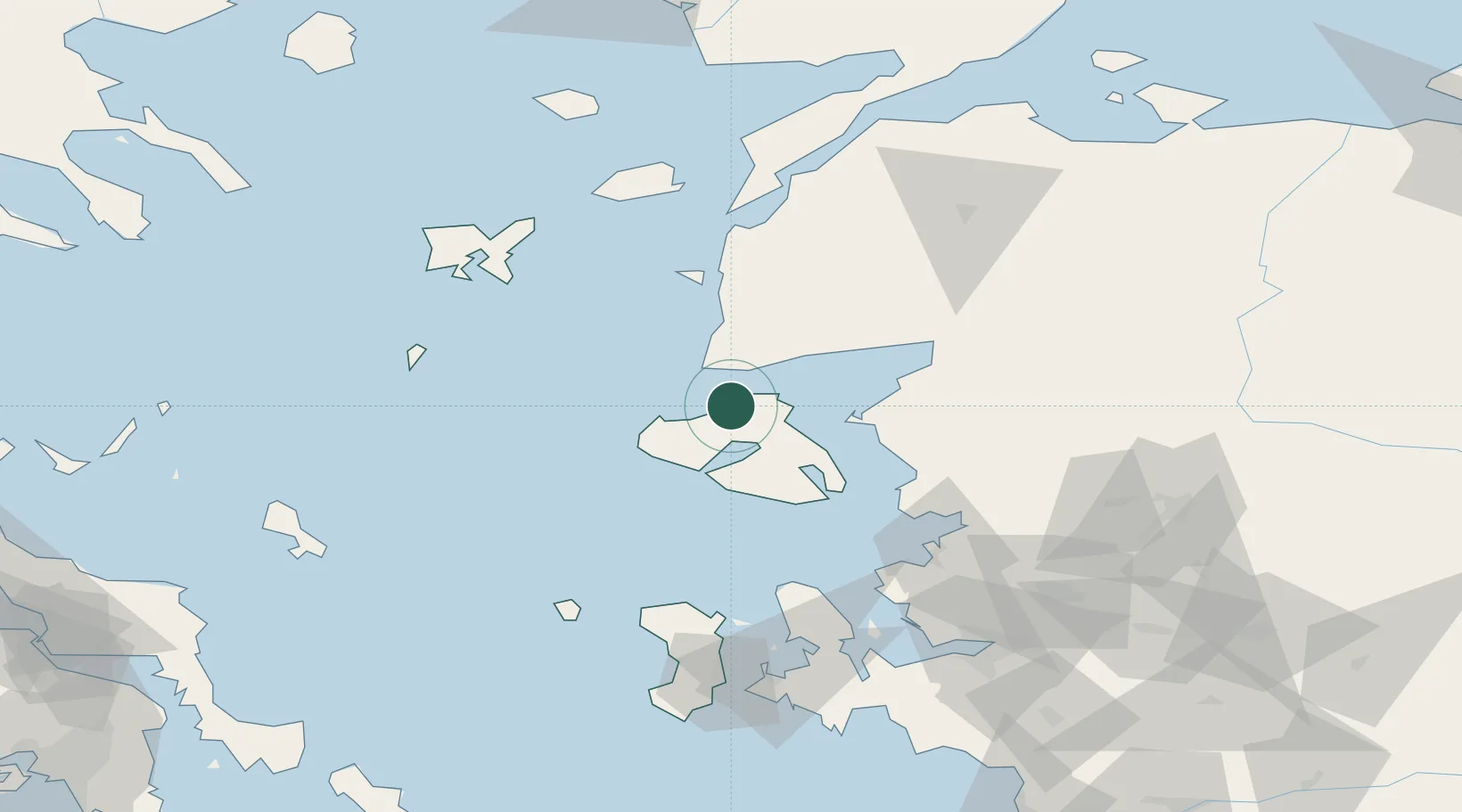
Hub Profile
Place type
Populated place
Region
North Aegean
Population
1,299
Time zone
Europe/Athens
Elevation
16 m
Location
Nearby Logistics Neighbours
Cities
- 1Molyvos5 km
- 2Baba Point18 km
- 3Sigrion32 km
- 4Sigri Lesvou33 km
- 5Mytilene41 km
Airports
- 1Mytilene International Airport47 km
- 2Balıkesir Koca Seyit Airport75 km
- 3Çanakkale Airport92 km
- 4Limnos Airport104 km
- 5Chios Island National Airport110 km
Trade Zones
DatabookThe Record of Consolidated Knowledge
Greece beyond logistics?