Transport Functions
Port
Airport
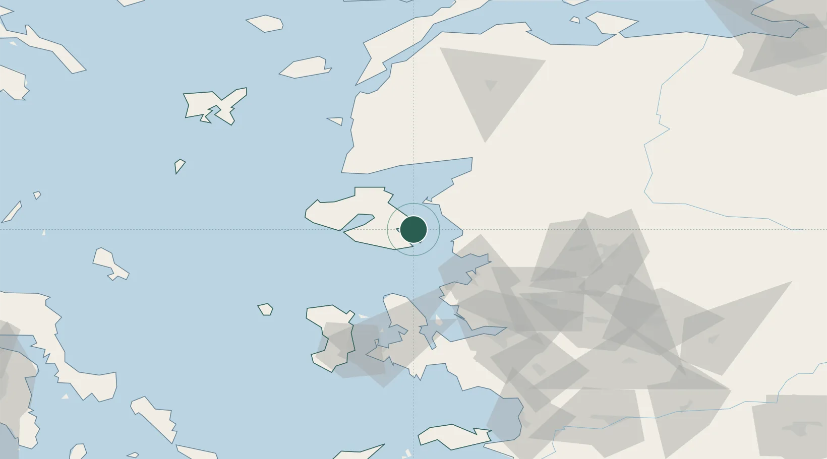
Hub Profile
Place type
Regional capital
Region
North Aegean
Population
28,322
Time zone
Europe/Athens
Elevation
14 m
Location
Nearby Logistics Neighbours
Cities
- 1Perama Geras Mytilinis9 km
- 2Plomárion21 km
- 3Ayvalik27 km
- 4Dikili29 km
- 5Petra41 km
Ports
- 1Plomarion21 km
- 2Dikili25 km
- 3Ayvalik27 km
- 4Aliaga45 km
- 5Nemrut Limani Bay49 km
Airports
Trade Zones
DatabookThe Record of Consolidated Knowledge
Greece beyond logistics?