UN/LOCODE hub · Greece
GRFOU

Foúrnoi

37.5000°, 26.5000°
1
Transport functions

Transport Functions

Port
UN/LOCODE

Hub Profile

Place type
District seat
GeoNames
Region
North Aegean
GeoNames
Time zone
Europe/Athens
GeoNames
Elevation
12 m
GeoNames

Location

Location of GRFOU
Natural Earth 10m (public domain) · North Aegean · GRFOU · 37.50, 26.50GoogleOSMYandex

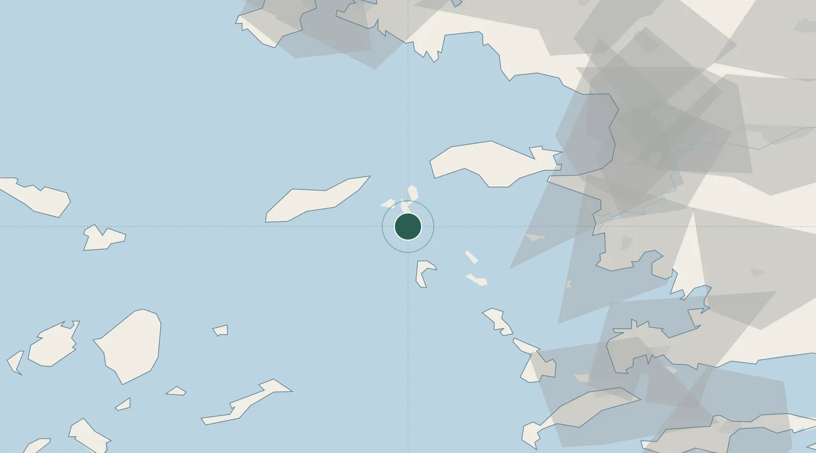
Nearby Logistics Neighbours

Cities
  1. 1Thymaina Island10 km
  2. 2Pátmos21 km
  3. 3Agios Kírykos22 km
  4. 4Arkioi Dodekanissou24 km
  5. 5Marathokampos Samou28 km
Nearest neighbours — logibook spatial index (haversine) over the source coordinates
Ports
  1. 1Neon Karlovas37 km
  2. 2Pithagorion45 km
  3. 3Samos50 km
  4. 4Lakki51 km
  5. 5Kalimnos75 km
Nearest neighbours — logibook spatial index (haversine) over the source coordinates
Airports
  1. 1Ikaria Airport24 km
  2. 2Samos Airport42 km
  3. 3Leros Airport44 km
  4. 4Kalymnos Airport71 km
  5. 5Kos International Airport "Ippokratis"94 km
Nearest neighbours — logibook spatial index (haversine) over the source coordinates
Trade Zones
  1. 1Aegean Free Zone108 km
  2. 2Izmir Ataturk Organized Industrial Zone120 km
  3. 3Tire Organized Industrial Zone126 km
  4. 4Izmir Free Zone130 km
  5. 5Manisa Organized Industrial Zone145 km
Nearest neighbours — logibook spatial index (haversine) over the source coordinates
DatabookThe Record of Consolidated Knowledge
Greece beyond logistics?
Browse databook

All Sources

LocationsUN/LOCODE
UN/LOCODE — free
Portsthe NGA World Port Index
Public domain (US gov)
AirportsOurAirports
Public domain
Trade Zonesthe World Bank SEZ database
CC BY 4.0
Trade ZonesOpen Zone Map
CC BY
← Greece locations