UN/LOCODE hub · Greece
GRTHM

Thymaina Island

37.5833°, 26.4500°
1
Transport functions

Transport Functions

Port
UN/LOCODE

Hub Profile

Region
84
GeoNames

Location

Location of GRTHM
Natural Earth 10m (public domain) · 84 · GRTHM · 37.58, 26.45GoogleOSMYandex

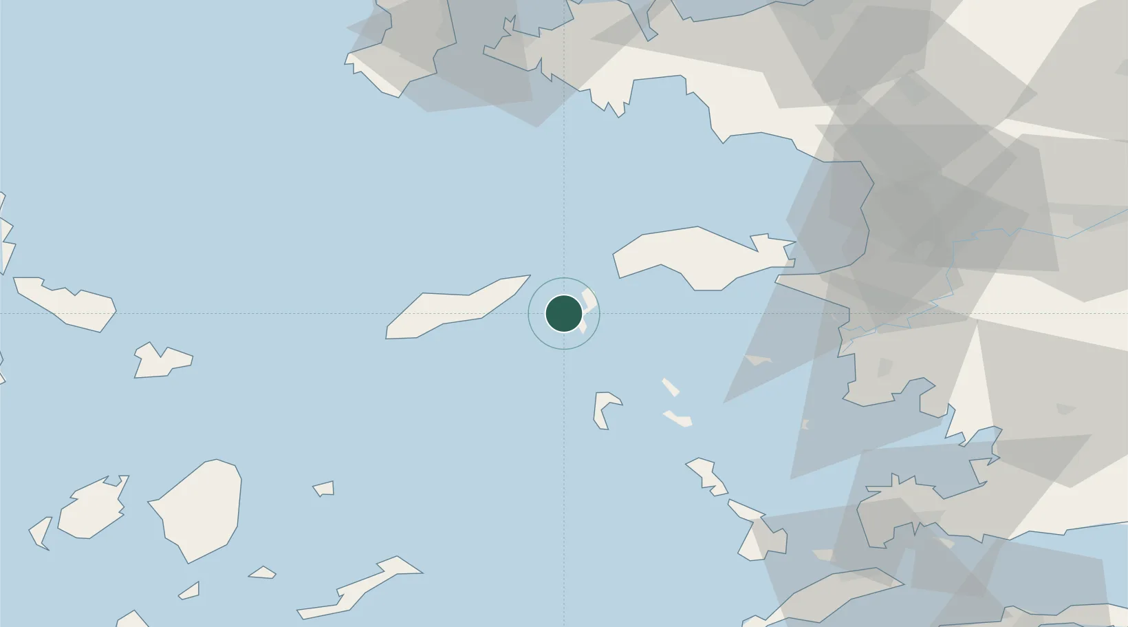
Nearby Logistics Neighbours

Cities
  1. 1Foúrnoi10 km
  2. 2Agios Kírykos14 km
  3. 3Eydilos24 km
  4. 4Marathokampos Samou26 km
  5. 5Pátmos31 km
Nearest neighbours — logibook spatial index (haversine) over the source coordinates
Ports
  1. 1Neon Karlovas32 km
  2. 2Pithagorion45 km
  3. 3Samos49 km
  4. 4Lakki61 km
  5. 5Kusadasi77 km
Nearest neighbours — logibook spatial index (haversine) over the source coordinates
Airports
  1. 1Ikaria Airport14 km
  2. 2Samos Airport42 km
  3. 3Leros Airport54 km
  4. 4Kalymnos Airport82 km
  5. 5Chios Island National Airport89 km
Nearest neighbours — logibook spatial index (haversine) over the source coordinates
Trade Zones
  1. 1Aegean Free Zone103 km
  2. 2Izmir Ataturk Organized Industrial Zone113 km
  3. 3Izmir Free Zone123 km
  4. 4Tire Organized Industrial Zone125 km
  5. 5Manisa Organized Industrial Zone140 km
Nearest neighbours — logibook spatial index (haversine) over the source coordinates
DatabookThe Record of Consolidated Knowledge
Greece beyond logistics?
Browse databook

All Sources

LocationsUN/LOCODE
UN/LOCODE — free
Portsthe NGA World Port Index
Public domain (US gov)
AirportsOurAirports
Public domain
Trade Zonesthe World Bank SEZ database
CC BY 4.0
Trade ZonesOpen Zone Map
CC BY
← Greece locations