Transport Functions
Multimodal
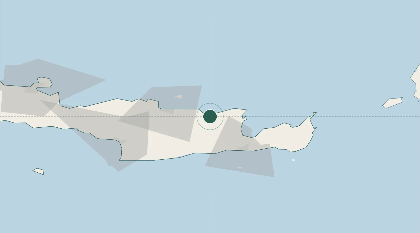
Hub Profile
Place type
Populated place
Region
Crete
Population
4,343
Time zone
Europe/Athens
Elevation
28 m
Location
Nearby Logistics Neighbours
Cities
- 1Thrapsanon20 km
- 2Agios Nikólaos, Kríti25 km
- 3Kounavoi26 km
- 4Heraklion (Iraklion)30 km
- 5Linoperamata Hrakliou39 km
Ports
- 1Ayios Nikolaos25 km
- 2Iraklion30 km
- 3Sitia61 km
- 4Kali Limenes70 km
- 5Rethimnon91 km
Airports
Trade Zones
- 1Free Zone of Heraklion36 km
- 2Free Zone of Piraeus339 km
- 3Aegean Free Zone370 km
- 4Tire Organized Industrial Zone373 km
- 5Izmir Ataturk Organized Industrial Zone383 km
DatabookThe Record of Consolidated Knowledge
Greece beyond logistics?