UN/LOCODE hub · Greece
GRHER
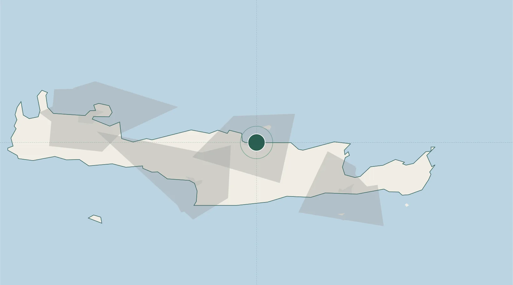
Heraklion (Iraklion)
35.3447°, 25.1497°
2
Transport functions
1
Container terminals
Transport Functions
Port
Airport
Hub Profile
Region
91
Logistics facilities
1
Container terminals
1
Location
Nearby Logistics Neighbours
Cities
- 1Linoperamata Hrakliou9 km
- 2Kounavoi13 km
- 3Thrapsanon22 km
- 4Malia30 km
- 5Agia Galini51 km
Ports
- 1Ayios Nikolaos54 km
- 2Kali Limenes54 km
- 3Rethimnon62 km
- 4Soudha89 km
- 5Sitia90 km
Airports
Trade Zones
- 1Free Zone of Heraklion17 km
- 2Free Zone of Piraeus320 km
- 3Aegean Free Zone376 km
- 4Tire Organized Industrial Zone384 km
- 5Tobruk Free Zone384 km
DatabookThe Record of Consolidated Knowledge
Greece beyond logistics?