Transport Functions
Port
Road
Multimodal
Hub Profile
Place type
Populated place
Region
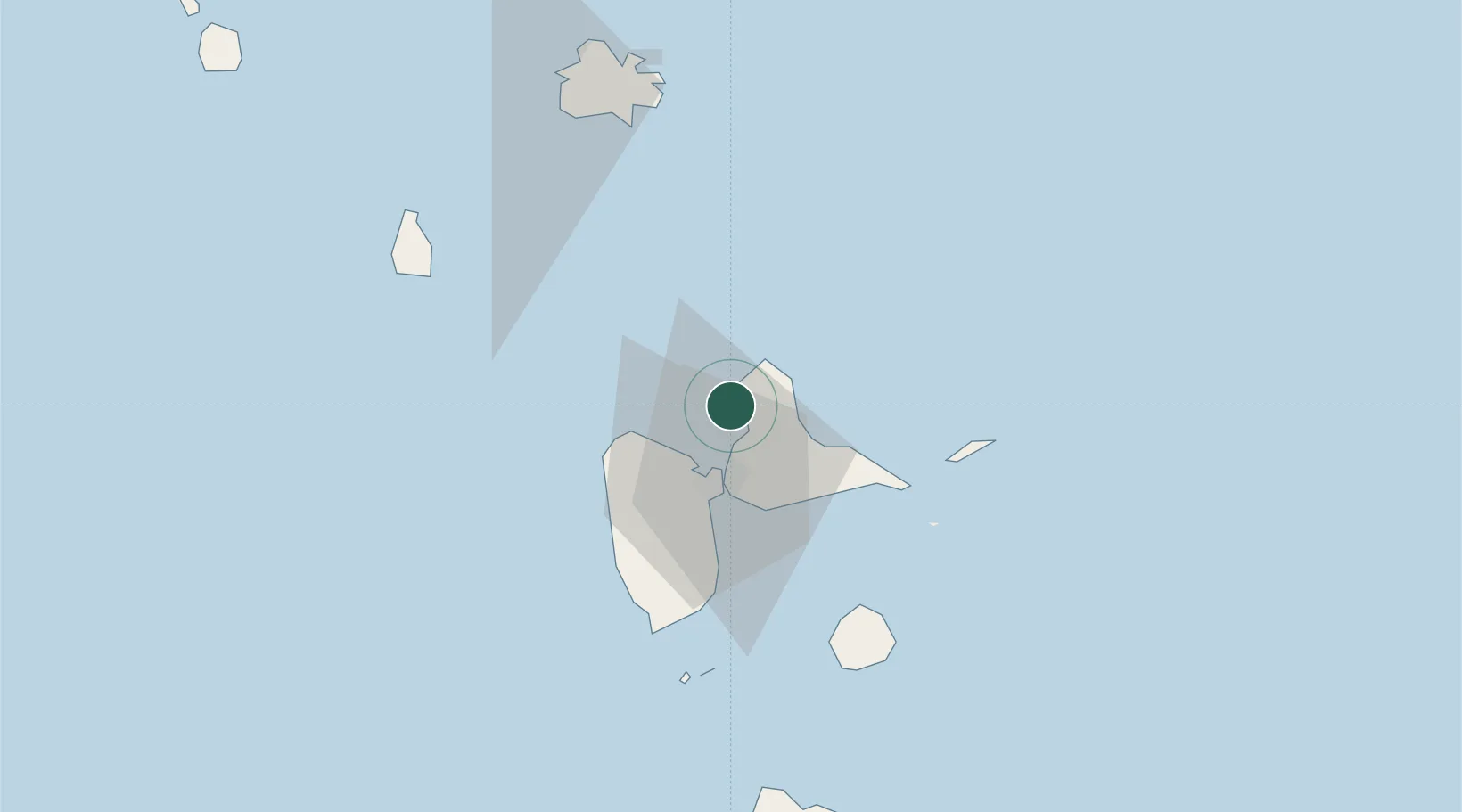
Guadeloupe
Population
5,515
Time zone
America/Guadeloupe
Elevation
6 m
Location
Nearby Logistics Neighbours
Cities
- 1Anse-Bertrand6 km
- 2Les Abymes15 km
- 3Baie-Mahault18 km
- 4Pointe-à-Pitre20 km
- 5Jarry21 km
Ports
- 1Pointe A Pitre20 km
- 2Basse Terre51 km
- 3St Johns85 km
- 4Portsmouth95 km
- 5Roseau125 km
Airports
- 1Maryse Condé International Airport17 km
- 2St-François Airport34 km
- 3La Désirade Airport50 km
- 4Basse-Terre Baillif Airport50 km
- 5Marie-Galante Airport67 km