Transport Functions
Port
Hub Profile
Place type
Urban district
Region
Guadeloupe
Time zone
America/Guadeloupe
Elevation
6 m
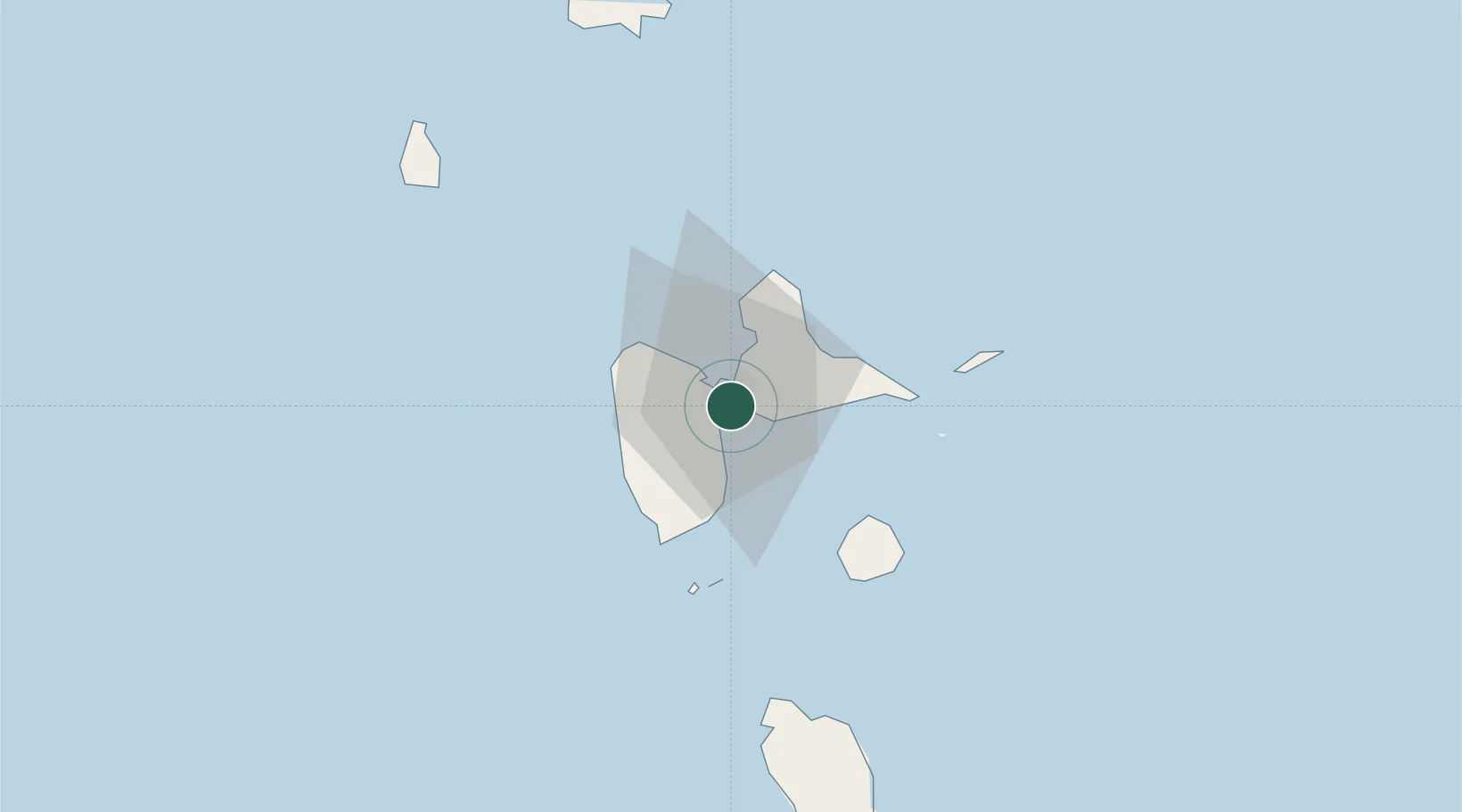
Location
Nearby Logistics Neighbours
Cities
- 1Pointe-à-Pitre2 km
- 2Baie-Mahault5 km
- 3Petit-Bourg7 km
- 4Les Abymes8 km
- 5Le Gosier8 km
Ports
- 1Pointe A Pitre2 km
- 2Port Louis21 km
- 3Basse Terre33 km
- 4Portsmouth75 km
- 5St Johns103 km
Airports