UN/LOCODE hub · Guadeloupe
GPBMH
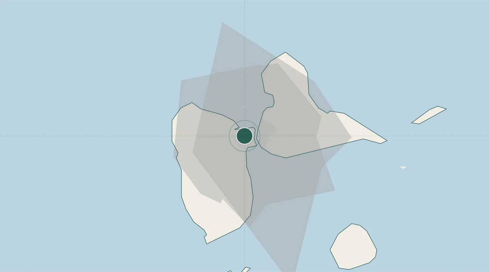
Baie-Mahault
16.2667°, -61.5833°
30,837
Population
2
Transport functions
Transport Functions
Port
Road
Hub Profile
Place type
Populated place
Region
Guadeloupe
Population
30,837
Time zone
America/Guadeloupe
Elevation
18 m
Location
Nearby Logistics Neighbours
Cities
- 1Jarry5 km
- 2Pointe-à-Pitre7 km
- 3Les Abymes9 km
- 4Petit-Bourg9 km
- 5Le Gosier13 km
Ports
- 1Pointe A Pitre7 km
- 2Port Louis18 km
- 3Basse Terre34 km
- 4Portsmouth79 km
- 5St Johns99 km
Airports