UN/LOCODE hub · Guadeloupe
GPFPI
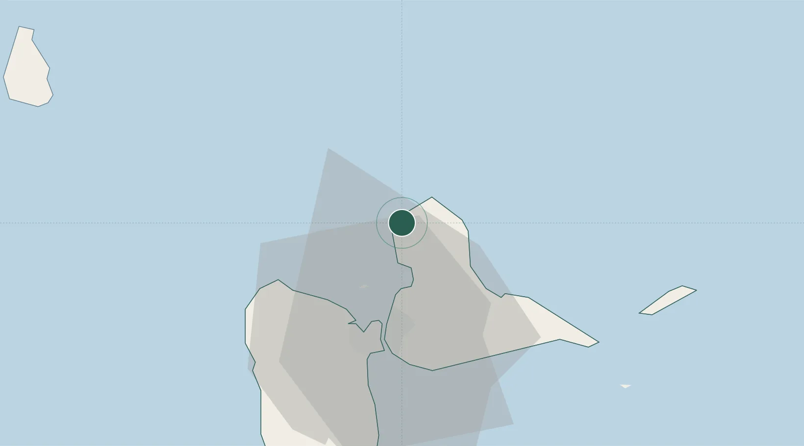
Anse-Bertrand
16.4667°, -61.5167°
5,146
Population
2
Transport functions
Transport Functions
Port
Road
Hub Profile
Place type
Populated place
Region
Guadeloupe
Population
5,146
Time zone
America/Guadeloupe
Elevation
17 m
Location
Nearby Logistics Neighbours
Cities
- 1Port-Louis6 km
- 2Les Abymes21 km
- 3Baie-Mahault23 km
- 4Pointe-à-Pitre26 km
- 5Jarry26 km
Ports
- 1Port Louis6 km
- 2Pointe A Pitre26 km
- 3Basse Terre57 km
- 4St Johns81 km
- 5Portsmouth100 km
Airports
- 1Maryse Condé International Airport22 km
- 2St-François Airport36 km
- 3La Désirade Airport50 km
- 4Basse-Terre Baillif Airport56 km
- 5Marie-Galante Airport72 km