UN/LOCODE hub · Guadeloupe
GPPTP
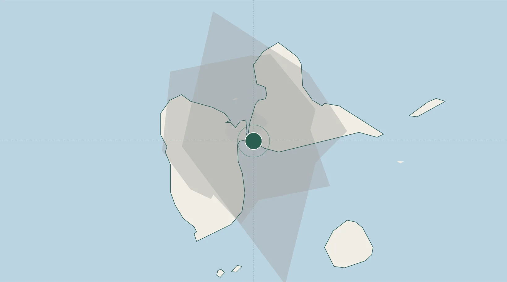
Pointe-à-Pitre
16.2333°, -61.5333°
15,181
Population
4
Transport functions
Transport Functions
Port
Road
Airport
Postal
Hub Profile
Place type
District seat
Region
Guadeloupe
Population
15,181
Time zone
America/Guadeloupe
Location
Nearby Logistics Neighbours
Cities
- 1Jarry2 km
- 2Baie-Mahault7 km
- 3Le Gosier7 km
- 4Les Abymes7 km
- 5Petit-Bourg8 km
Ports
- 1Port Louis20 km
- 2Basse Terre34 km
- 3Portsmouth75 km
- 4St Johns104 km
- 5Roseau105 km
Airports