Transport Functions
Port
Road
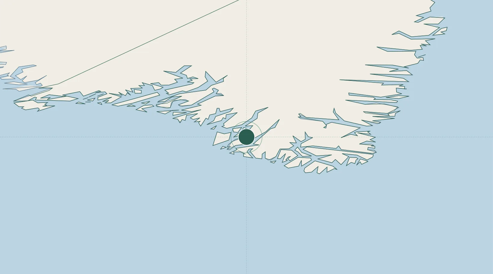
Location
Nearby Logistics Neighbours
Cities
- 1Beauly330 km
- 2Nuuk (Godthaab)556 km
- 3Seqi Olivine Mine618 km
- 4Toqqusaq627 km
- 5Tasiilaq693 km
Ports
- 1Nanortalik Havn27 km
- 2Qaqortoq75 km
- 3Narsaq90 km
- 4Narsarssuaq97 km
- 5Gronnedal (Kangilinnguit)200 km
Airports
- 1Tasiusaq Heliport15 km
- 2Nanortalik Heliport26 km
- 3Narsarmijit Heliport38 km
- 4Alluitsup Paa Heliport39 km
- 5Ammassivik Heliport40 km
Trade Zones
- 1Crossroads Business Park1405 km
- 2Cape Breton Regional Municipality Foreign Trade Zone1882 km
- 3FTZ No. 179 Madawaska2092 km
- 4Halifax Gateway2135 km
- 5Saint John2175 km
DatabookThe Record of Consolidated Knowledge
Greenland beyond logistics?