Transport Functions
Port
Hub Profile
Place type
Populated place
Region
England
Population
1,265
Time zone
Europe/London
Elevation
2 m
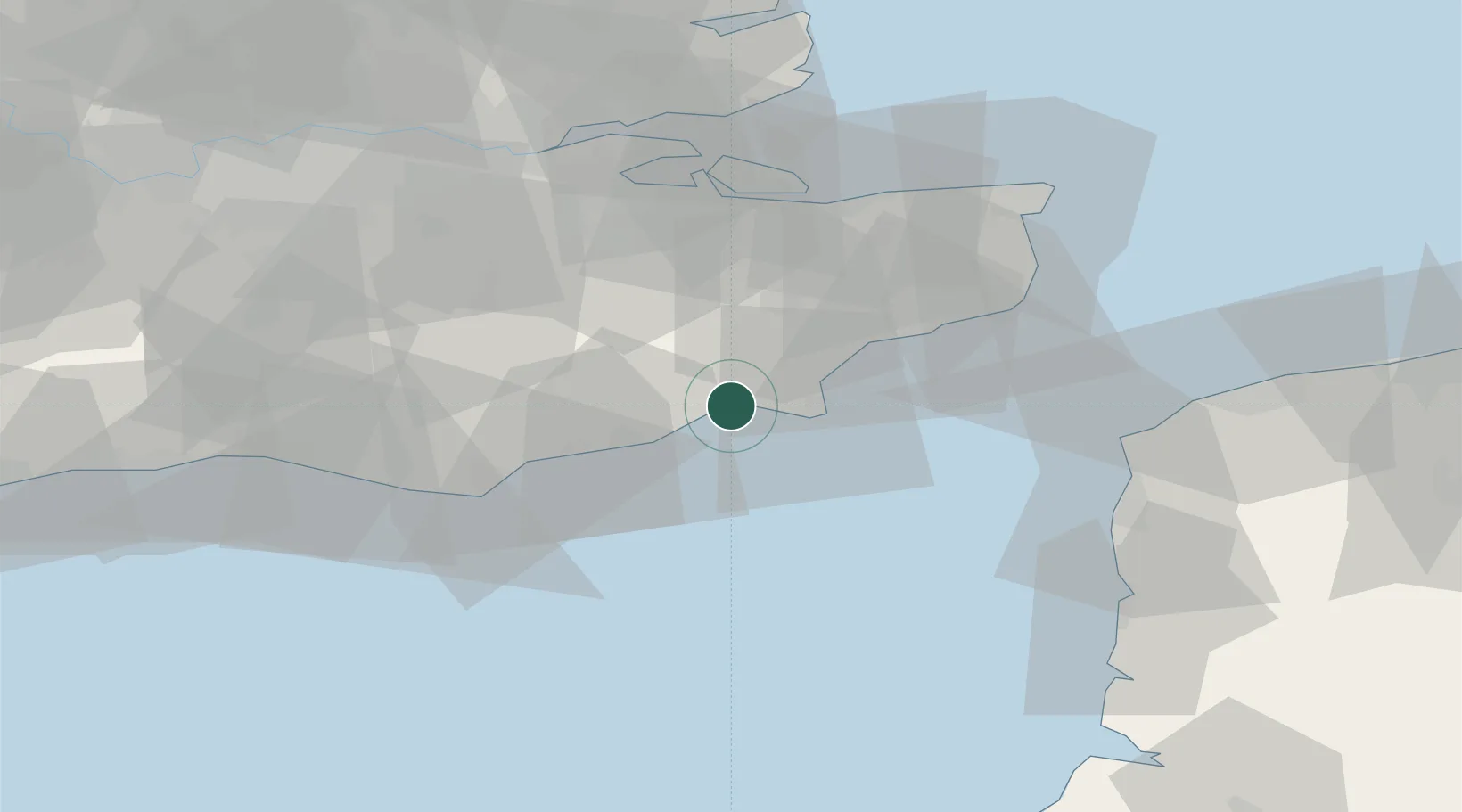
Location
Nearby Logistics Neighbours
Cities
- 1Stone8 km
- 2Four Oaks11 km
- 3Lydd on Sea12 km
- 4New Romney12 km
- 5Dungeness13 km
Ports
- 1Rye Harbour1 km
- 2Folkestone Harbour34 km
- 3Dover Harbor44 km
- 4Whitstable51 km
- 5Newhaven Harbour54 km
Airports
Trade Zones
DatabookThe Record of Consolidated Knowledge
United Kingdom beyond logistics?