Transport Functions
Rail
Road
Hub Profile
Place type
Urban district
Region
England
Time zone
Europe/London
Elevation
37 m
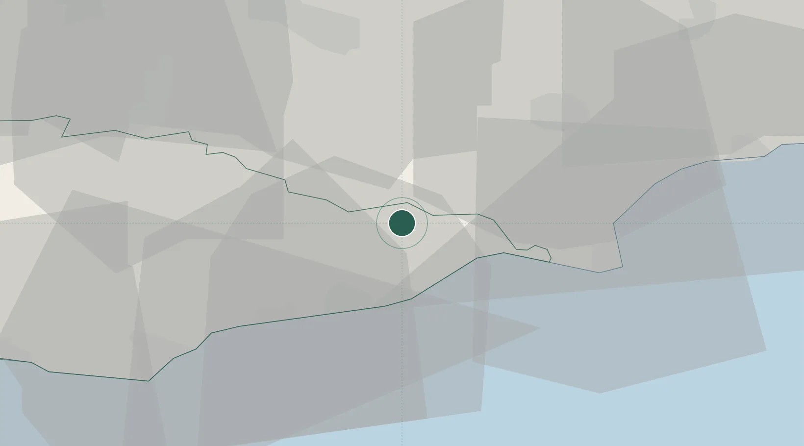
Location
Nearby Logistics Neighbours
Cities
- 1Northiam4 km
- 2Stone8 km
- 3Camber11 km
- 4Saint Leonards-on-Sea16 km
- 5Burwash19 km
Ports
- 1Rye Harbour10 km
- 2Folkestone Harbour40 km
- 3Chatham Docks47 km
- 4Newhaven Harbour48 km
- 5Dover Harbor50 km
Airports
- 1Lydd London Ashford Airport21 km
- 2London Biggin Hill Airport58 km
- 3London Gatwick Airport61 km
- 4London Southend Airport65 km
- 5Brighton City Airport68 km
Trade Zones
DatabookThe Record of Consolidated Knowledge
United Kingdom beyond logistics?