Transport Functions
Multimodal
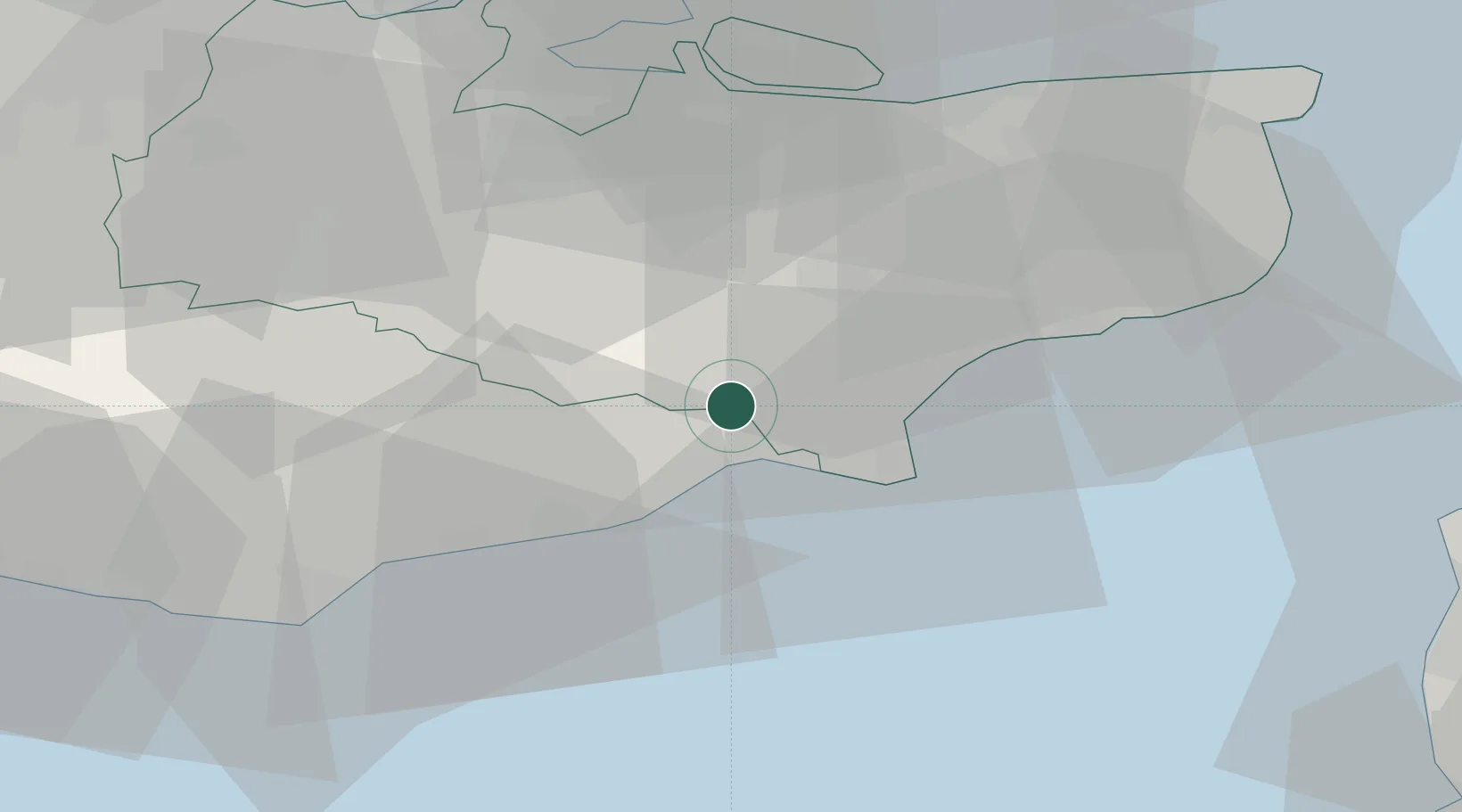
Hub Profile
Place type
Populated place
Region
England
Population
6,100
Time zone
Europe/London
Elevation
2 m
Location
Nearby Logistics Neighbours
Cities
- 1Camber8 km
- 2Four Oaks8 km
- 3Northiam12 km
- 4New Romney12 km
- 5Saint Marys Bay14 km
Ports
- 1Rye Harbour7 km
- 2Folkestone Harbour32 km
- 3Dover Harbor42 km
- 4Whitstable45 km
- 5Chatham Docks47 km
Airports
- 1Lydd London Ashford Airport13 km
- 2London Biggin Hill Airport63 km
- 3London Southend Airport64 km
- 4London Gatwick Airport69 km
- 5London City Airport75 km
Trade Zones
DatabookThe Record of Consolidated Knowledge
United Kingdom beyond logistics?