UN/LOCODE hub · United Kingdom
GBGRK
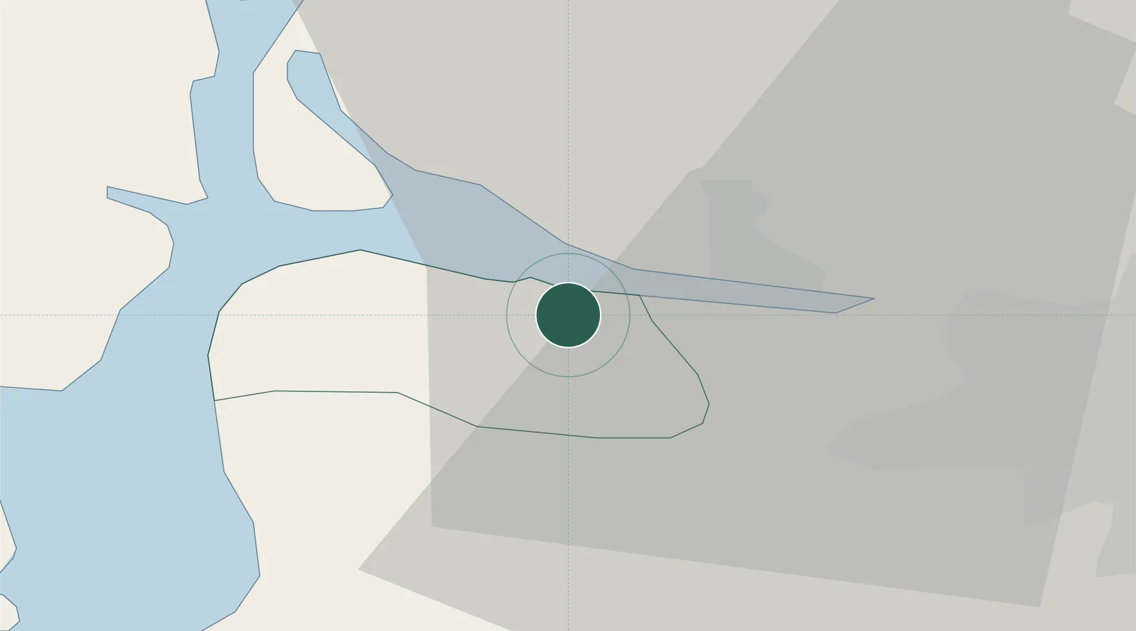
Greenock
55.9177°, -4.6708°
41,280
Population
1
Transport functions
1
Container terminals
Transport Functions
Port
Hub Profile
Place type
Provincial seat
Region
Scotland
Population
41,280
Time zone
Europe/London
Elevation
12 m
Logistics facilities
3
Container terminals
1
Location
Nearby Logistics Neighbours
Cities
- 1Port Glasgow2 km
- 2Vale of Leven7 km
- 3Helensburgh10 km
- 4Gourock11 km
- 5Bowling12 km
Ports
- 1Bowling12 km
- 2Old Kilpatrick13 km
- 3Largs18 km
- 4Renfrew18 km
- 5Faslane19 km
Airports
- 1Glasgow Airport16 km
- 2Glasgow Prestwick Airport47 km
- 3Oban Airport76 km
- 4Edinburgh Airport81 km
- 5Campbeltown Airport83 km
Trade Zones
DatabookThe Record of Consolidated Knowledge
United Kingdom beyond logistics?