Transport Functions
Port
Rail
Road
Hub Profile
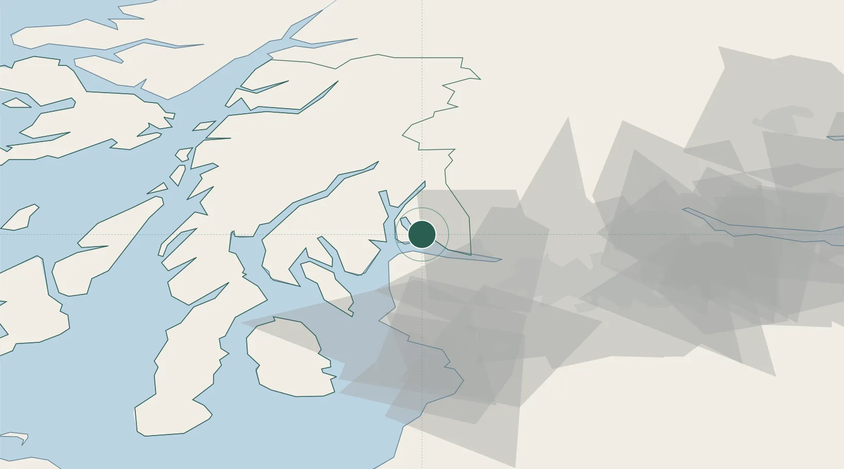
Place type
Populated place
Region
Scotland
Population
1,870
Time zone
Europe/London
Elevation
56 m
Location
Nearby Logistics Neighbours
Cities
- 1Helensburgh3 km
- 2Rosneath3 km
- 3Shandon4 km
- 4Faslane6 km
- 5Kilcreggan6 km
Ports
- 1Faslane6 km
- 2Greenock8 km
- 3Finnart Oil Terminal12 km
- 4Bowling20 km
- 5Old Kilpatrick22 km
Airports
- 1Glasgow Airport26 km
- 2Glasgow Prestwick Airport59 km
- 3Oban Airport63 km
- 4Campbeltown Airport86 km
- 5Edinburgh Airport87 km
Trade Zones
DatabookThe Record of Consolidated Knowledge
United Kingdom beyond logistics?