Transport Functions
Rail
Road
Hub Profile
Place type
Populated place
Region
England
Time zone
Europe/London
Elevation
7 m
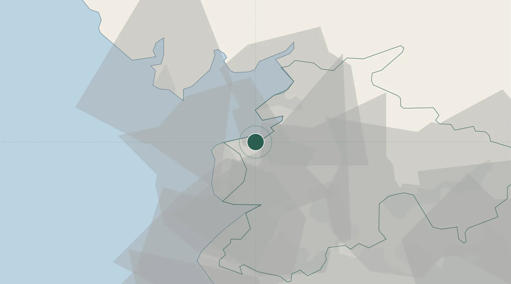
Location
Nearby Logistics Neighbours
Cities
- 1Fleetwood6 km
- 2Glasson Dock7 km
- 3Galgate10 km
- 4Heaton12 km
- 5Abbeystead17 km
Ports
- 1Fleetwood7 km
- 2Heysham11 km
- 3Lancaster16 km
- 4Barrow In Furness29 km
- 5Liverpool58 km
Airports
- 1Blackpool Airport19 km
- 2Warton Aerodrome21 km
- 3Barrow Walney Island Airport32 km
- 4Liverpool John Lennon Airport67 km
- 5Manchester Airport77 km
Trade Zones
DatabookThe Record of Consolidated Knowledge
United Kingdom beyond logistics?