Transport Functions
Multimodal
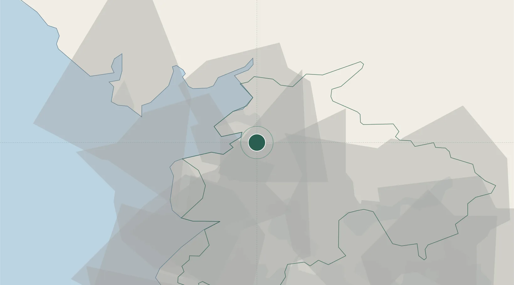
Hub Profile
Place type
Populated place
Region
England
Population
2,458
Time zone
Europe/London
Elevation
24 m
Location
Nearby Logistics Neighbours
Cities
- 1Glasson Dock4 km
- 2Heaton7 km
- 3Abbeystead8 km
- 4Pilling10 km
- 5Hest Bank11 km
Ports
- 1Lancaster7 km
- 2Heysham10 km
- 3Fleetwood17 km
- 4Barrow In Furness33 km
- 5Liverpool65 km
Airports
- 1Warton Aerodrome27 km
- 2Blackpool Airport29 km
- 3Barrow Walney Island Airport36 km
- 4Liverpool John Lennon Airport72 km
- 5Leeds Bradford Airport75 km
Trade Zones
DatabookThe Record of Consolidated Knowledge
United Kingdom beyond logistics?