UN/LOCODE hub · United Kingdom
GBGLD

Glasson Dock

53.9833°, -2.8500°
1
Transport functions

Transport Functions

Port
UN/LOCODE

Hub Profile

Region
LAN
GeoNames

Location

Location of GBGLD
Natural Earth 10m (public domain) · LAN · GBGLD · 53.98, -2.85GoogleOSMYandex

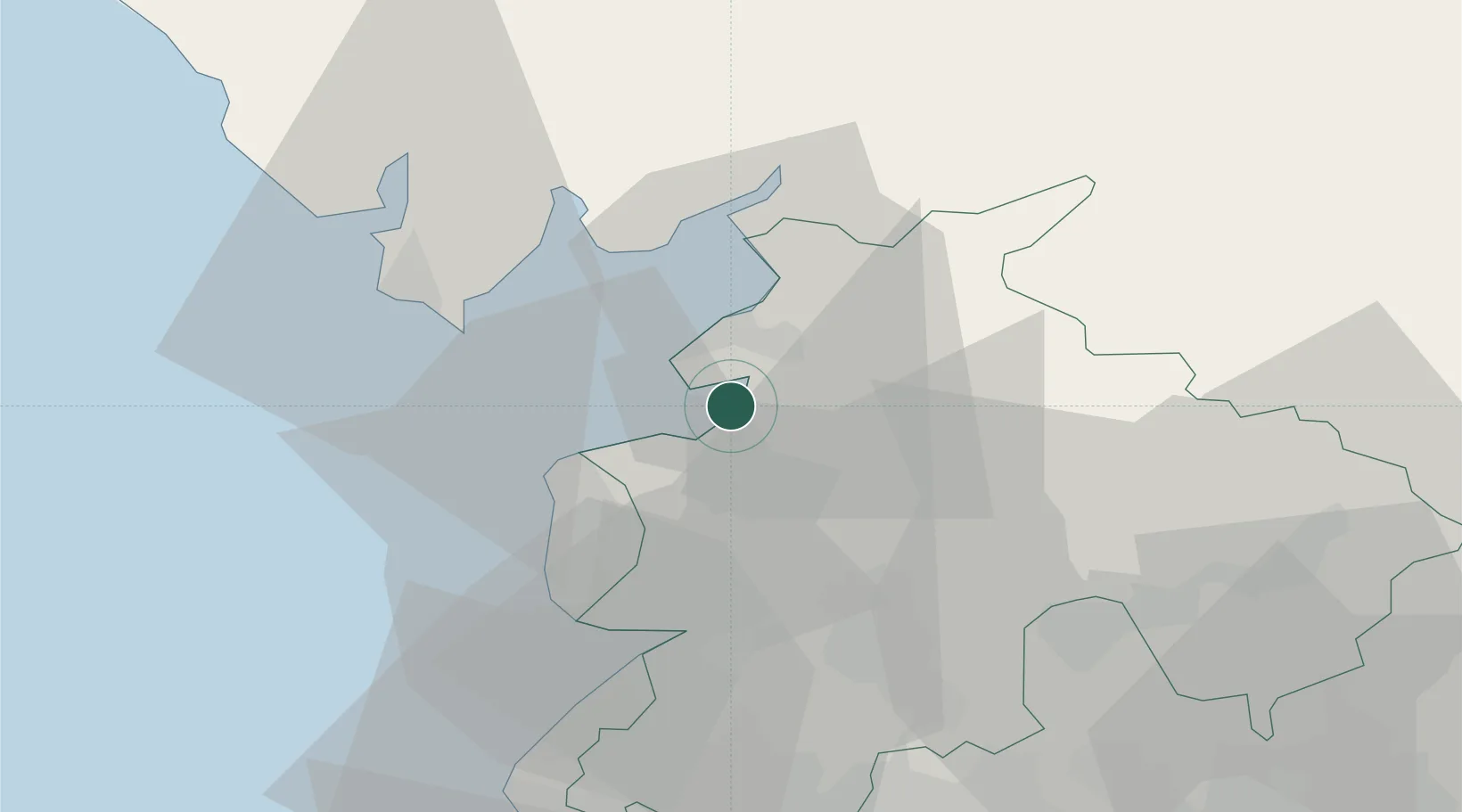
Nearby Logistics Neighbours

Cities
  1. 1Galgate4 km
  2. 2Heaton6 km
  3. 3Pilling7 km
  4. 4Hest Bank12 km
  5. 5Abbeystead12 km
Nearest neighbours — logibook spatial index (haversine) over the source coordinates
Ports
  1. 1Heysham7 km
  2. 2Lancaster9 km
  3. 3Fleetwood13 km
  4. 4Barrow In Furness29 km
  5. 5Liverpool64 km
Nearest neighbours — logibook spatial index (haversine) over the source coordinates
Airports
  1. 1Blackpool Airport26 km
  2. 2Warton Aerodrome27 km
  3. 3Barrow Walney Island Airport32 km
  4. 4Liverpool John Lennon Airport72 km
  5. 5Leeds Bradford Airport79 km
Nearest neighbours — logibook spatial index (haversine) over the source coordinates
Trade Zones
  1. 1Hillhouse Enterprise Zone23 km
  2. 2Lancashire Enterprise Zone26 km
  3. 3Blackpool Enterprise Zone26 km
  4. 4Liverpool Free Zone57 km
  5. 5Mersey Waters Enterprise Zone66 km
Nearest neighbours — logibook spatial index (haversine) over the source coordinates
DatabookThe Record of Consolidated Knowledge
United Kingdom beyond logistics?
Browse databook

All Sources

LocationsUN/LOCODE
UN/LOCODE — free
Portsthe NGA World Port Index
Public domain (US gov)
AirportsOurAirports
Public domain
Trade Zonesthe World Bank SEZ database
CC BY 4.0
Trade ZonesOpen Zone Map
CC BY
← United Kingdom locations