Transport Functions
Port
Hub Profile
Region
01
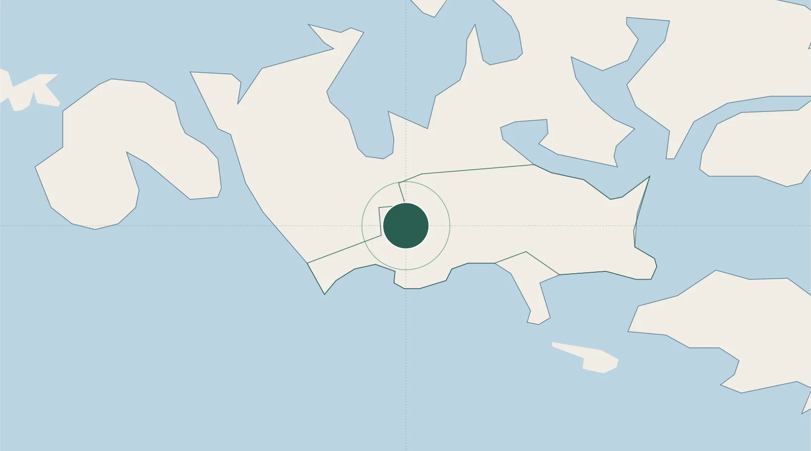
Location
Nearby Logistics Neighbours
Cities
- 1Maarianhamina (Mariehamn)8 km
- 2Maarianhamina (Mariehamn)8 km
- 3Marsund11 km
- 4Färjsundet15 km
- 5Eckerö15 km
Ports
- 1Mariehamn6 km
- 2Grisslehamn56 km
- 3Hallstavik70 km
- 4Hargshamn77 km
- 5Uto94 km
Airports
- 1Mariehamn Airport4 km
- 2Stockholm-Arlanda Airport119 km
- 3Stockholm-Bromma Airport137 km
- 4Gävle Sandviken Airport167 km
- 5Pori Airport182 km
Trade Zones
- 1Stockholm Free Zone130 km
- 2Turku Free Zone136 km
- 3Freeport of Hanko173 km
- 4Paldiski Free Zone254 km
- 5Muuga Free Zone305 km
DatabookThe Record of Consolidated Knowledge
Finland beyond logistics?