UN/LOCODE hub · Finland
FIECK

Eckerö

60.2167°, 19.6167°
2
Transport functions

Transport Functions

Port
Border Crossing
UN/LOCODE

Hub Profile

Region
01
GeoNames

Location

Location of FIECK
Natural Earth 10m (public domain) · 01 · FIECK · 60.22, 19.62GoogleOSMYandex

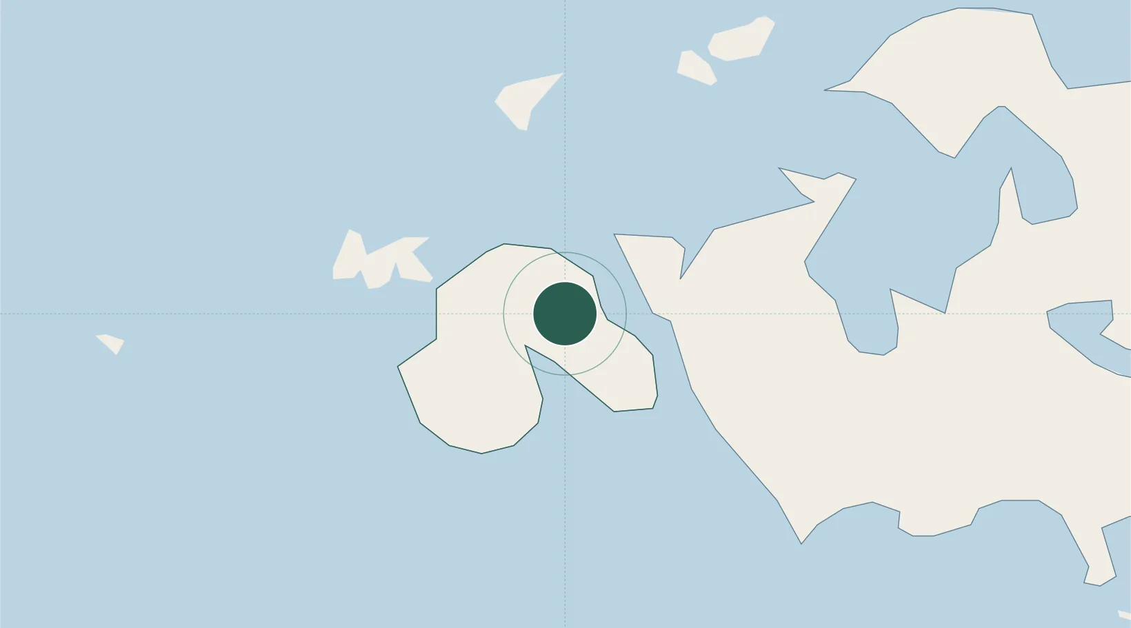
Nearby Logistics Neighbours

Cities
  1. 1Marsund5 km
  2. 2Gottby (Godby)15 km
  3. 3Färjsundet22 km
  4. 4Maarianhamina (Mariehamn)23 km
  5. 5Maarianhamina (Mariehamn)23 km
Nearest neighbours — logibook spatial index (haversine) over the source coordinates
Ports
  1. 1Mariehamn21 km
  2. 2Grisslehamn46 km
  3. 3Hallstavik60 km
  4. 4Hargshamn65 km
  5. 5Uto109 km
Nearest neighbours — logibook spatial index (haversine) over the source coordinates
Airports
  1. 1Mariehamn Airport19 km
  2. 2Stockholm-Arlanda Airport113 km
  3. 3Stockholm-Bromma Airport134 km
  4. 4Gävle Sandviken Airport152 km
  5. 5Söderhamn Airport180 km
Nearest neighbours — logibook spatial index (haversine) over the source coordinates
Trade Zones
  1. 1Stockholm Free Zone128 km
  2. 2Turku Free Zone145 km
  3. 3Freeport of Hanko187 km
  4. 4Paldiski Free Zone268 km
  5. 5Muuga Free Zone319 km
Nearest neighbours — logibook spatial index (haversine) over the source coordinates
DatabookThe Record of Consolidated Knowledge
Finland beyond logistics?
Browse databook

All Sources

LocationsUN/LOCODE
UN/LOCODE — free
Portsthe NGA World Port Index
Public domain (US gov)
AirportsOurAirports
Public domain
Trade Zonesthe World Bank SEZ database
CC BY 4.0
Trade ZonesOpen Zone Map
CC BY
← Finland locations