UN/LOCODE hub · Finland
FIMRS

Marsund

60.2000°, 19.7000°
2
Transport functions

Transport Functions

Port
Road
UN/LOCODE

Hub Profile

Region
01
GeoNames

Location

Location of FIMRS
Natural Earth 10m (public domain) · 01 · FIMRS · 60.20, 19.70GoogleOSMYandex

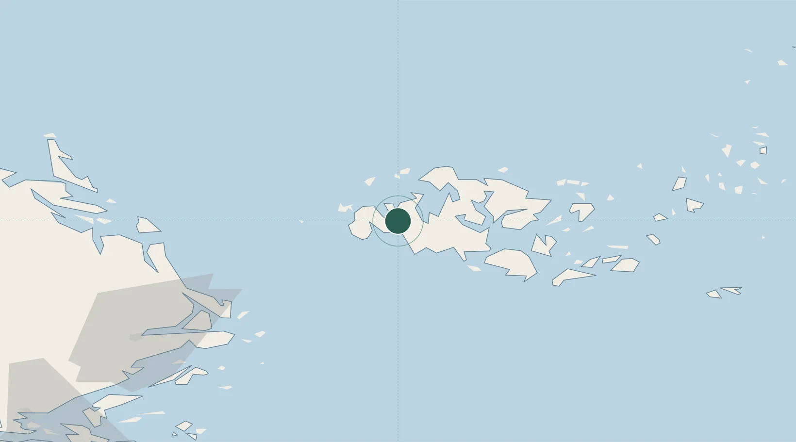
Nearby Logistics Neighbours

Cities
  1. 1Eckerö5 km
  2. 2Gottby (Godby)11 km
  3. 3Maarianhamina (Mariehamn)18 km
  4. 4Maarianhamina (Mariehamn)18 km
  5. 5Färjsundet18 km
Nearest neighbours — logibook spatial index (haversine) over the source coordinates
Ports
  1. 1Mariehamn16 km
  2. 2Grisslehamn50 km
  3. 3Hallstavik64 km
  4. 4Hargshamn69 km
  5. 5Uto104 km
Nearest neighbours — logibook spatial index (haversine) over the source coordinates
Airports
  1. 1Mariehamn Airport14 km
  2. 2Stockholm-Arlanda Airport116 km
  3. 3Stockholm-Bromma Airport136 km
  4. 4Gävle Sandviken Airport157 km
  5. 5Pori Airport181 km
Nearest neighbours — logibook spatial index (haversine) over the source coordinates
Trade Zones
  1. 1Stockholm Free Zone130 km
  2. 2Turku Free Zone141 km
  3. 3Freeport of Hanko182 km
  4. 4Paldiski Free Zone263 km
  5. 5Muuga Free Zone314 km
Nearest neighbours — logibook spatial index (haversine) over the source coordinates
DatabookThe Record of Consolidated Knowledge
Finland beyond logistics?
Browse databook

All Sources

LocationsUN/LOCODE
UN/LOCODE — free
Portsthe NGA World Port Index
Public domain (US gov)
AirportsOurAirports
Public domain
Trade Zonesthe World Bank SEZ database
CC BY 4.0
Trade ZonesOpen Zone Map
CC BY
← Finland locations