UN/LOCODE hub · Finland
FIFAR

Färjsundet

60.2333°, 20.0167°
1
Transport functions

Transport Functions

Port
UN/LOCODE

Hub Profile

Region
01
GeoNames

Location

Location of FIFAR
Natural Earth 10m (public domain) · 01 · FIFAR · 60.23, 20.02GoogleOSMYandex

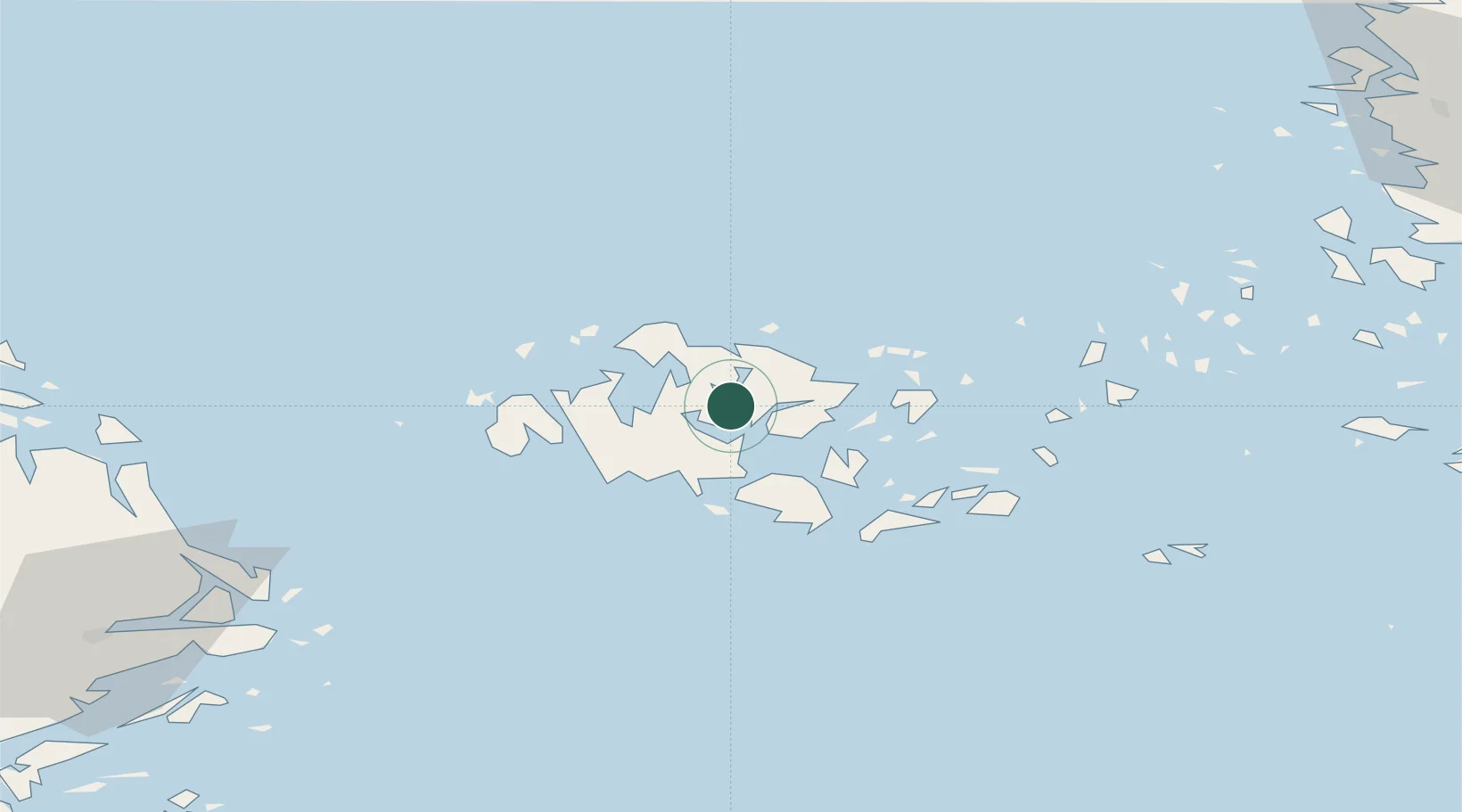
Nearby Logistics Neighbours

Cities
  1. 1Gottby (Godby)15 km
  2. 2Maarianhamina (Mariehamn)15 km
  3. 3Maarianhamina (Mariehamn)15 km
  4. 4Marsund18 km
  5. 5Eckerö22 km
Nearest neighbours — logibook spatial index (haversine) over the source coordinates
Ports
  1. 1Mariehamn16 km
  2. 2Grisslehamn68 km
  3. 3Hallstavik82 km
  4. 4Hargshamn87 km
  5. 5Uto90 km
Nearest neighbours — logibook spatial index (haversine) over the source coordinates
Airports
  1. 1Mariehamn Airport14 km
  2. 2Turku Airport127 km
  3. 3Stockholm-Arlanda Airport133 km
  4. 4Stockholm-Bromma Airport152 km
  5. 5Pori Airport167 km
Nearest neighbours — logibook spatial index (haversine) over the source coordinates
Trade Zones
  1. 1Turku Free Zone123 km
  2. 2Stockholm Free Zone145 km
  3. 3Freeport of Hanko166 km
  4. 4Paldiski Free Zone248 km
  5. 5Muuga Free Zone298 km
Nearest neighbours — logibook spatial index (haversine) over the source coordinates
DatabookThe Record of Consolidated Knowledge
Finland beyond logistics?
Browse databook

All Sources

LocationsUN/LOCODE
UN/LOCODE — free
Portsthe NGA World Port Index
Public domain (US gov)
AirportsOurAirports
Public domain
Trade Zonesthe World Bank SEZ database
CC BY 4.0
Trade ZonesOpen Zone Map
CC BY
← Finland locations