Seaport · Spain
SantanderESSDR
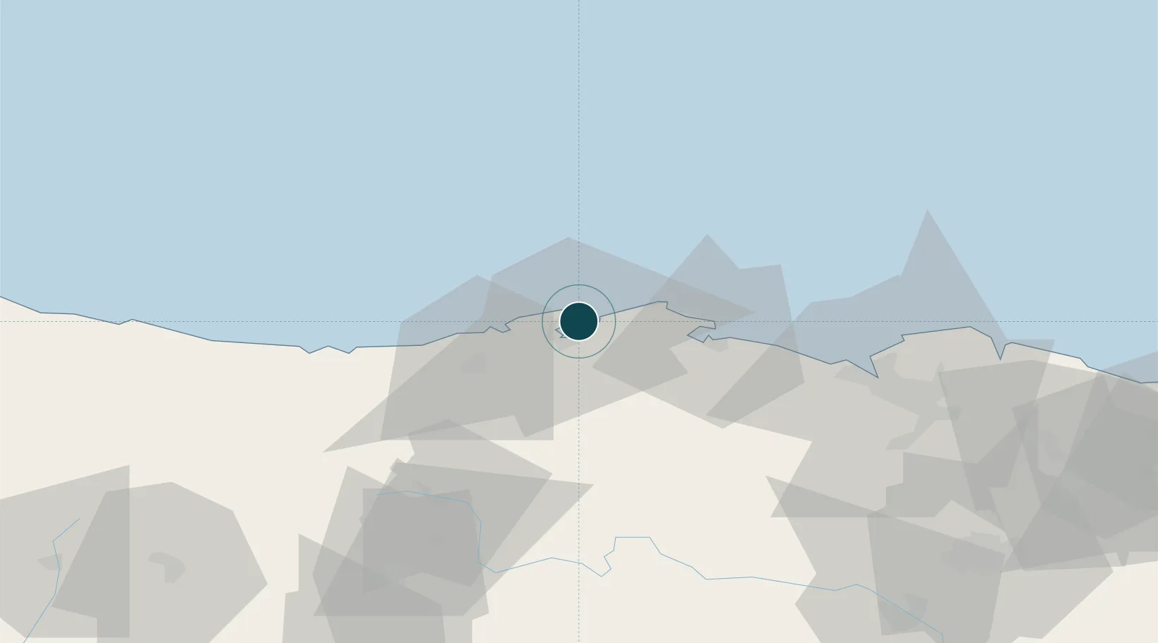
43.4667°, -3.7833°
11.0 m
Channel depth
1
Container terminals
26.1
Port liner connectivity
Channel & Berth Profile
Pilotage, Tugs & Services
Pilotage compulsoryYES
Pilotage availableYES
Pilotage advisableYES
Tug assistanceYES
Shore powerYES
Potable waterYES
Diesel bunkersYES
MedicalYES
Garbage disposalYES
Facilities & Capabilities
Container—
Ro-Ro—
Liquid bulk—
Dry bulk—
Oil terminal—
Break bulk—
Dry dockNO
RepairsNO
BunkeringYES
Rail linkYES
Dangerous cargo—
ISPS security—
Harbour Specifications
Harbour size
Medium
Harbour type
River (Natural)
Shelter
Good
Water body
Bay of Biscay; North Atlantic Ocean
Tidal range
3 m
Overhead limit
No
Pilotage
Yes
Liner Connectivity
26.1
PLSCI
Port Liner Shipping Connectivity Index for Santander, as published by UNCTAD for the latest available quarter. Higher values indicate stronger scheduled liner-shipping integration.
Shown relative to the highest per-port PLSCI in the dataset (1,657.9).
Location
Container Terminals · 1
BOLUDA MARITIME TERMINALS SANTANDER
BMT BOLUDA CORPORACION MARITIMA S.A.
Nearby Logistics Neighbours
Ports
- 1Puerto De Bilbao61 km
- 2Bermeo86 km
- 3Puerto De Pasajes150 km
- 4Gijon152 km
- 5Aviles174 km
Cities
- 1Maliaño7 km
- 2El Astillero8 km
- 3Orejo8 km
- 4Solares10 km
- 5Sobremazas11 km
Airports
- 1Seve Ballesteros-Santander Airport5 km
- 2Bilbao Airport73 km
- 3Vitoria Airport108 km
- 4Burgos Airport124 km
- 5San Sebastián Airport161 km
Trade Zones
DatabookThe Record of Consolidated Knowledge
Spain beyond logistics?