Medium airport · Spain

Seve Ballesteros-Santander AirportLEXJ
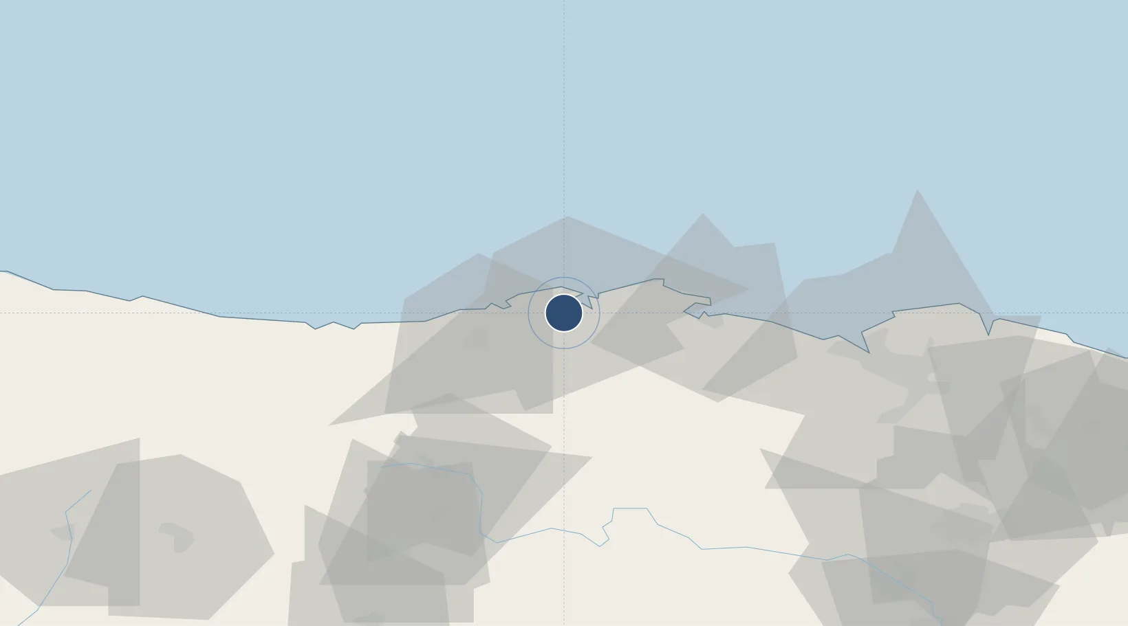
43.4271°, -3.8200°
7,612 ft
Longest runway
1
Runways
16 ft
Elevation

Runway & Layout

Seve Ballesteros-Santander Airport runway & taxiway layout
Runway & taxiway layout — OpenStreetMap (ODbL) / OurAirports

Radio Frequencies

TWR
118.1 MHz
GND
121.7 MHz
APP
118.375 MHz
OurAirports

Navaids

SA NDB Santander 416 kHz
SNR VOR-DME Santander 115.30 MHz
OurAirports

Runways · 1

RunwayDimensions SurfaceTrue headingLit
11/29 7,612 × 148ft Asphalt 110°
OurAirports

Airport Specifications

IATA code
SDR
OurAirports
ICAO code
LEXJ
OurAirports
Airport class
Medium airport
OurAirports
Scheduled service
Yes
OurAirports
Runway surface
Asphalt
OurAirports
Served city
Santander
OurAirports

Location

Location of LEXJ
Natural Earth 10m (public domain) · Cantabria · LEXJ · 43.43, -3.82GoogleOSMYandex

Nearby Logistics Neighbours

Airports
  1. 1Bilbao Airport75 km
  2. 2Vitoria Airport108 km
  3. 3Burgos Airport120 km
  4. 4Logroño-Agoncillo Airport163 km
  5. 5San Sebastián Airport164 km
Nearest neighbours — logibook spatial index (haversine) over the source coordinates
Cities
  1. 1Maliaño2 km
  2. 2Santander2 km
  3. 3El Astillero3 km
  4. 4Parbayon7 km
  5. 5Revilla de Camargo7 km
Nearest neighbours — logibook spatial index (haversine) over the source coordinates
Ports
  1. 1Santander5 km
  2. 2Puerto De Bilbao63 km
  3. 3Bermeo89 km
  4. 4Gijon150 km
  5. 5Puerto De Pasajes153 km
Nearest neighbours — logibook spatial index (haversine) over the source coordinates
Trade Zones
  1. 1Zona Franca de Santander3 km
  2. 2Depósito Franco de Bilbao64 km
  3. 3Depósito Franco de Villafría (Burgos)118 km
  4. 4Depósito Franco de Gijón152 km
  5. 5Depósito Franco de Pasajes (Guipúzcoa)154 km
Nearest neighbours — logibook spatial index (haversine) over the source coordinates
DatabookThe Record of Consolidated Knowledge
Spain beyond logistics?
Browse databook

All Sources

AirportsOurAirports
Public domain
Portsthe NGA World Port Index
Public domain (US gov)
LocationsUN/LOCODE
UN/LOCODE — free
Trade Zonesthe World Bank SEZ database
CC BY 4.0
Trade ZonesOpen Zone Map
CC BY
InfrastructureOpenStreetMap
ODbL 1.0
← Spain airports