UN/LOCODE hub · Spain
ESSDR
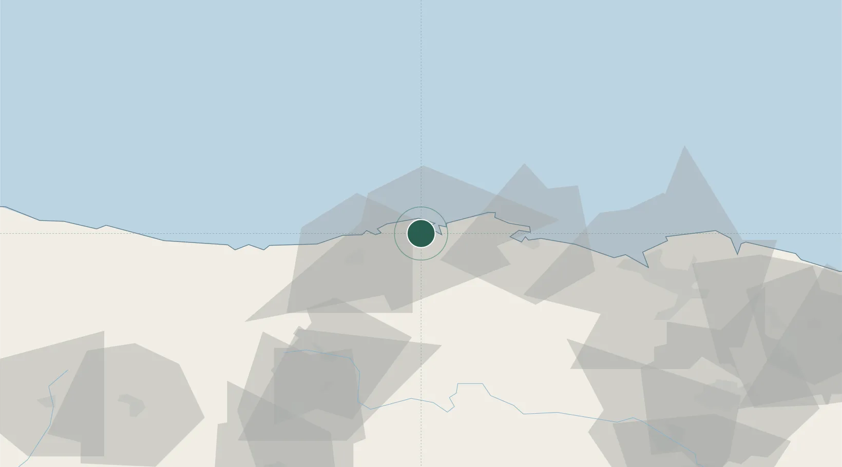
Santander
43.4424°, -3.8187°
173,635
Population
4
Transport functions
1
Container terminals
Transport Functions
Port
Rail
Road
Airport
Hub Profile
Place type
Regional capital
Region
Cantabria
Population
173,635
Time zone
Europe/Madrid
Elevation
1 m
Logistics facilities
2
Container terminals
1
Location
Nearby Logistics Neighbours
Cities
- 1Maliaño3 km
- 2El Astillero5 km
- 3Revilla de Camargo8 km
- 4Orejo8 km
- 5Parbayon8 km
Ports
- 1Puerto De Bilbao63 km
- 2Bermeo89 km
- 3Gijon150 km
- 4Puerto De Pasajes153 km
- 5Aviles171 km
Airports
- 1Seve Ballesteros-Santander Airport2 km
- 2Bilbao Airport75 km
- 3Vitoria Airport108 km
- 4Burgos Airport122 km
- 5Logroño-Agoncillo Airport164 km
Trade Zones
DatabookThe Record of Consolidated Knowledge
Spain beyond logistics?