Transport Functions
Rail
Road
Multimodal
Hub Profile
Place type
Populated place
Region
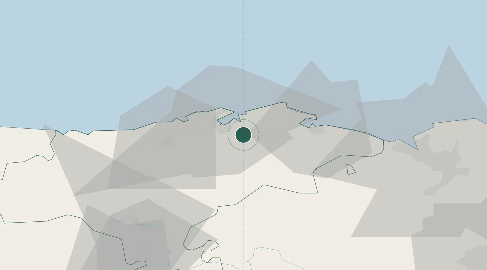
Cantabria
Time zone
Europe/Madrid
Elevation
43 m
Location
Nearby Logistics Neighbours
Cities
- 1Orejo2 km
- 2Sobremazas2 km
- 3Hoznayo3 km
- 4El Astillero7 km
- 5Maliaño9 km
Ports
- 1Santander10 km
- 2Puerto De Bilbao55 km
- 3Bermeo82 km
- 4Puerto De Pasajes146 km
- 5Gijon157 km
Airports
- 1Seve Ballesteros-Santander Airport9 km
- 2Bilbao Airport67 km
- 3Vitoria Airport99 km
- 4Burgos Airport114 km
- 5Logroño-Agoncillo Airport154 km
Trade Zones
DatabookThe Record of Consolidated Knowledge
Spain beyond logistics?