Medium airport · Spain
Vitoria AirportLEVT
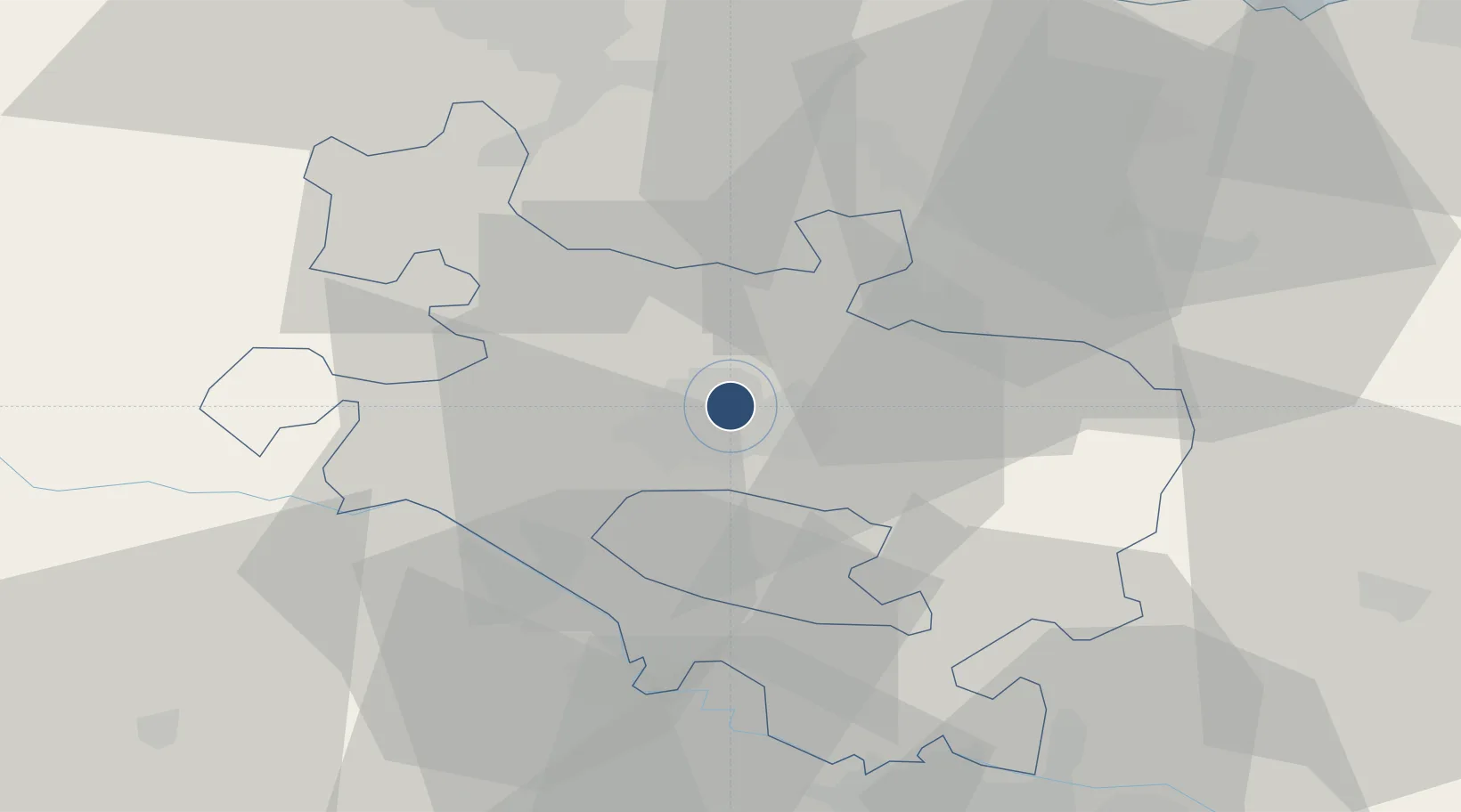
42.8828°, -2.7245°
11,483 ft
Longest runway
1
Runways
1,682 ft
Elevation
Runway & Layout

Radio Frequencies
TWR
118.45 MHz
GND
121.8 MHz
Navaids
VFD VOR-DME Vitoria 112.90 MHz
VRA VOR-DME Vitoria 116.60 MHz
Runways · 1
| Runway | Dimensions | Surface | True heading | Lit |
|---|---|---|---|---|
| 04/22 | 11,483 × 148ft | Concrete | 036° | ✓ |
Airport Specifications
IATA code
VIT
ICAO code
LEVT
Airport class
Medium airport
Scheduled service
Yes
Runway surface
Concrete
Served city
Alava
Location
Nearby Logistics Neighbours
Airports
- 1Bilbao Airport49 km
- 2Logroño-Agoncillo Airport57 km
- 3Pamplona Airport89 km
- 4San Sebastián Airport92 km
- 5Burgos Airport94 km
Cities
- 1Aranguiz3 km
- 2Vitoria-Gasteiz4 km
- 3Alegria-Dulantzi de Alava6 km
- 4Minano Mayor7 km
- 5Durana7 km
Ports
- 1Puerto De Bilbao58 km
- 2Bermeo59 km
- 3Puerto De Pasajes82 km
- 4Santander108 km
- 5Bayonne123 km
Trade Zones
DatabookThe Record of Consolidated Knowledge
Spain beyond logistics?